Yarras Area, Yarras Postcode(2795) & Map in Yarras, Central West, NSW
Yarras Area, Yarras Postcode(2795) & Map in Yarras, Central West, NSW, AU, Postcode: 2795
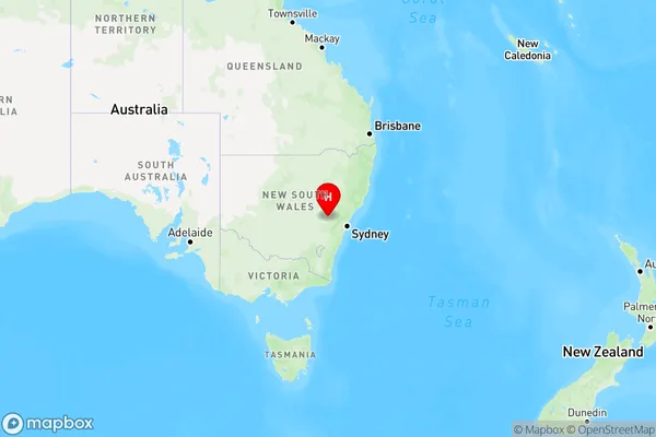
Yarras, Bathurst Region, Bathurst, Central West, New South Wales, Australia, 2795
Yarras Postcode
Area Name
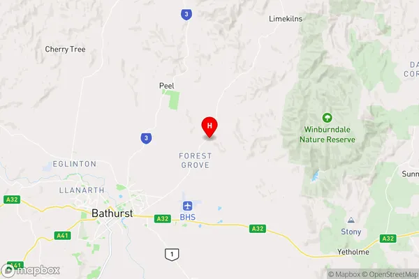
YarrasYarras Suburb Area Map (Polygon)

Yarras Introduction
Yarras is a small town in the Central West region of New South Wales, Australia. It is located in the Macquarie Valley and is known for its scenic countryside and historic buildings. The town has a population of around 1,500 people and is surrounded by farmland and forests. It is a popular destination for outdoor activities such as hiking, cycling, and fishing. Yarras also has a local museum and a community hall that hosts various events and activities throughout the year.State Name
City or Big Region
District or Regional Area
Suburb Name
Yarras Region Map
Country
Main Region in AU
R3Coordinates
-33.3559854,149.6763442 (latitude/longitude)Yarras Area Map (Street)
Longitude
149.474401Latitude
-33.820797Yarras Elevation
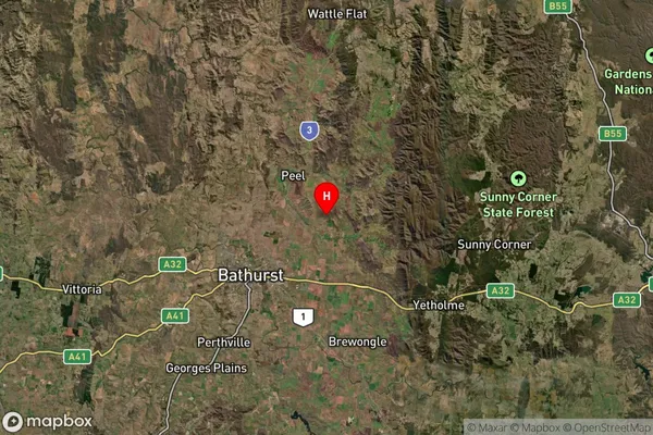
about -3492.00 meters height above sea level (Altitude)Yarras Suburb Map (Satellite)
Distances
The distance from Yarras, Central West, NSW to AU Greater Capital CitiesSA1 Code 2011
10301106006SA1 Code 2016
10301106006SA2 Code
103011060SA3 Code
10301SA4 Code
103RA 2011
2RA 2016
2MMM 2015
5MMM 2019
5Charge Zone
N2LGA Region
OberonLGA Code
16100Electorate
Calare