Millah Murrah Area, Millah Murrah Postcode(2795) & Map in Millah Murrah, Central West, NSW
Millah Murrah Area, Millah Murrah Postcode(2795) & Map in Millah Murrah, Central West, NSW, AU, Postcode: 2795
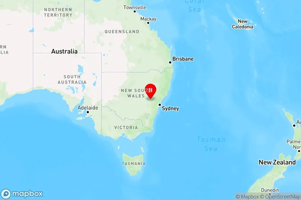
Millah Murrah, Bathurst Region, Bathurst, Central West, New South Wales, Australia, 2795
Millah Murrah Postcode
Area Name
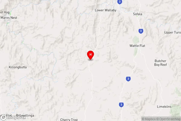
Millah MurrahMillah Murrah Suburb Area Map (Polygon)

Millah Murrah Introduction
Millah Murrah, Central West, NSW, AU, is a small rural town with a population of around 200 people. It is located in the Macquarie River valley and is known for its agricultural industry, including cotton farming and sheep grazing. The town has a primary school, a post office, and a general store. It is surrounded by beautiful countryside and is a popular destination for outdoor activities such as hiking, fishing, and camping.State Name
City or Big Region
District or Regional Area
Suburb Name
Millah Murrah Region Map
Country
Main Region in AU
R3Coordinates
-33.1690629,149.58353 (latitude/longitude)Millah Murrah Area Map (Street)
Longitude
149.474401Latitude
-33.820797Millah Murrah Elevation
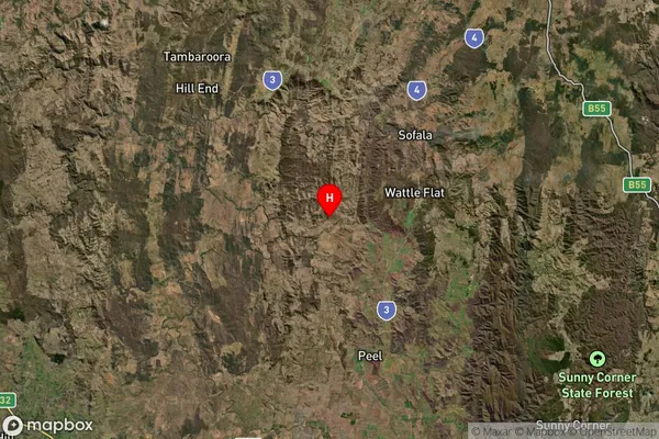
about -3492.00 meters height above sea level (Altitude)Millah Murrah Suburb Map (Satellite)
Distances
The distance from Millah Murrah, Central West, NSW to AU Greater Capital CitiesSA1 Code 2011
10301106010SA1 Code 2016
10301106010SA2 Code
103011060SA3 Code
10301SA4 Code
103RA 2011
3RA 2016
3MMM 2015
5MMM 2019
5Charge Zone
N2LGA Region
OberonLGA Code
16100Electorate
Calare