Sydney Area, Sydney Postcode(1112) & Map in Sydney, Sydney - City and Inner South, NSW
Sydney Area, Sydney Postcode(1112) & Map in Sydney, Sydney - City and Inner South, NSW, AU, Postcode: 1112
Sydney, Sydney - Haymarket - The Rocks, Sydney Inner City, Sydney - City and Inner South, New South Wales, Australia, 1112
Sydney Postcode
Area Name
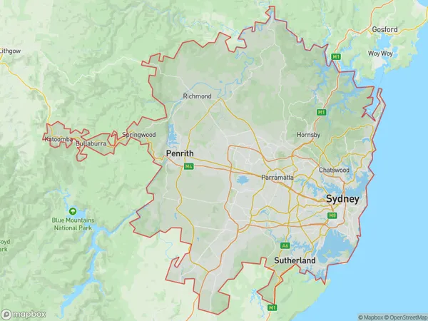
SydneySydney Suburb Area Map (Polygon)
Sydney Introduction
Sydney is the state capital of New South Wales and the most populous city in Australia and Oceania. It is known for its iconic landmarks, such as the Sydney Opera House and the Harbour Bridge. The city is home to a diverse population and is a major center for culture, finance, and tourism.State Name
City or Big Region
District or Regional Area
Suburb Name
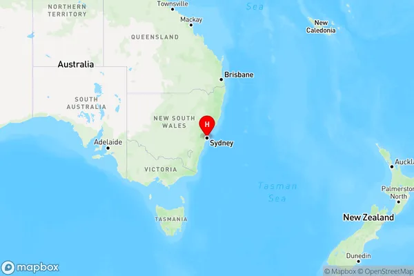
Sydney Region Map
Country
Main Region in AU
R1Coordinates
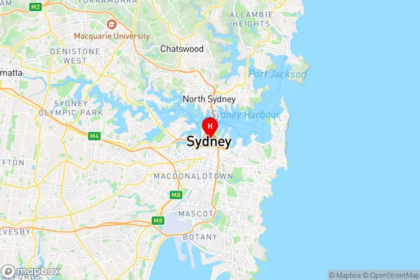
-33.8688197,151.2092955 (latitude/longitude)Sydney Area Map (Street)
Longitude
151.268071Latitude
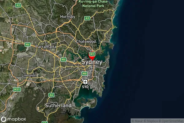
-33.794883Sydney Suburb Map (Satellite)
Distances
The distance from Sydney, Sydney - City and Inner South, NSW to AU Greater Capital CitiesSA1 Code 2011
11703133746SA1 Code 2016
11703133746SA2 Code
117031337SA3 Code
11703SA4 Code
117RA 2011
1RA 2016
1MMM 2015
1MMM 2019
1Charge Zone
N1LGA Region
MosmanLGA Code
15350Electorate
Sydney