Gilmore Area, Gilmore Postcode(2905) & Map in Gilmore, Australian Capital Territory, ACT
Gilmore Area, Gilmore Postcode(2905) & Map in Gilmore, Australian Capital Territory, ACT, AU, Postcode: 2905
Gilmore, Gilmore, Tuggeranong, Australian Capital Territory, Australian Capital Territory, Australia, 2905
Gilmore Postcode
Area Name
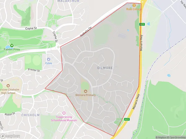
GilmoreGilmore Suburb Area Map (Polygon)

Gilmore Introduction
Gilmore is a suburb in the Australian Capital Territory (ACT) in Australia. It is located in the northern part of the city and is bordered by the Molonglo River to the north, the Tuggeranong Creek to the east, and the Monaro Highway to the south. The suburb is named after John Gilmore, who was a politician and journalist. Gilmore is a popular residential area with a mix of modern apartments and houses. It has a variety of shops, cafes, and restaurants, as well as a community center and a hospital. The suburb is also home to several parks and recreational facilities, including the Gilmore Reserve and the Gilmore Aquatic Center.State Name
City or Big Region
District or Regional Area
Suburb Name
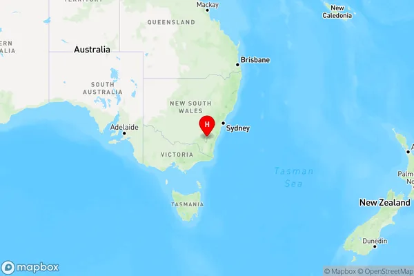
Gilmore Region Map

Country
Main Region in AU
R2Coordinates
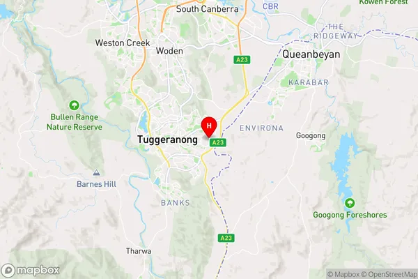
-35.421,149.133 (latitude/longitude)Gilmore Area Map (Street)

Longitude
149.110025Latitude
-35.431011Gilmore Elevation
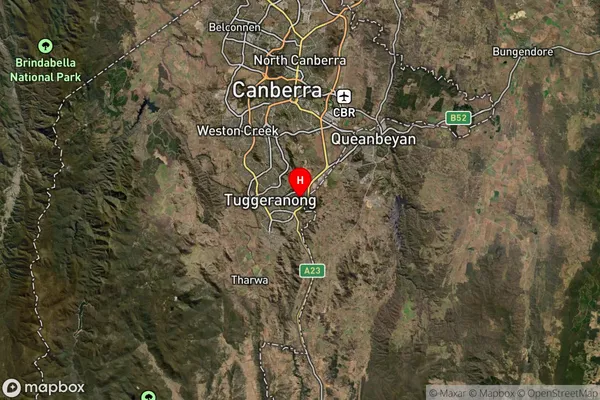
about 606.32 meters height above sea level (Altitude)Gilmore Suburb Map (Satellite)

Distances
The distance from Gilmore, Australian Capital Territory, ACT to AU Greater Capital CitiesSA1 Code 2011
80107107703SA1 Code 2016
80107107703SA2 Code
801071077SA3 Code
80107SA4 Code
801RA 2011
1RA 2016
1MMM 2015
1MMM 2019
1Charge Zone
N2LGA Region
Unincorporated ACTLGA Code
89399Electorate
Bean