Norfolk Island Area, Norfolk Island Postcode(2899) & Map in Norfolk Island, Other Territories, NSW
Norfolk Island Area, Norfolk Island Postcode(2899) & Map in Norfolk Island, Other Territories, NSW, AU, Postcode: 2899
Norfolk Island, Norfolk Island, Norfolk Island, Other Territories, New South Wales, Australia, 2899
Norfolk Island Postcode
Area Name
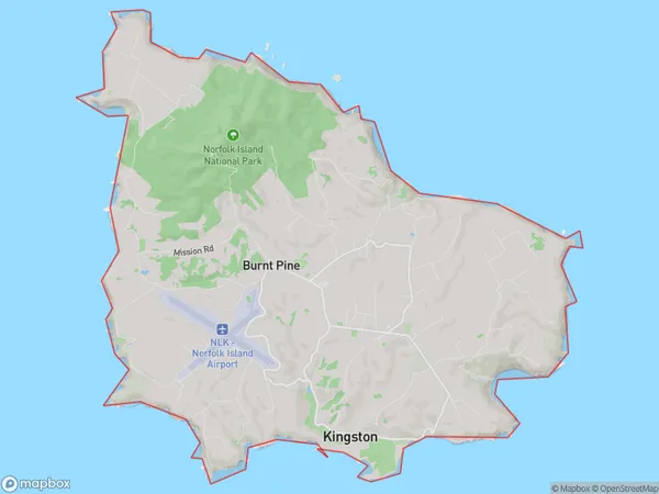
Norfolk IslandNorfolk Island Suburb Area Map (Polygon)

Norfolk Island Introduction
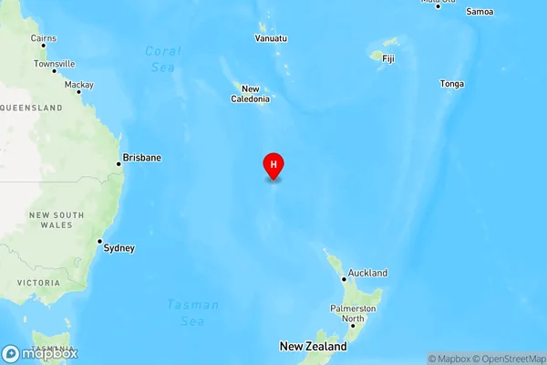
Norfolk Island is a small island in the Pacific Ocean, located between Australia and New Zealand. It is a popular tourist destination and home to a unique species of bird, the Norfolk Island pigeon. The island has a rich history and was settled by Polynesians thousands of years ago. It was used as a penal colony from 1825 to 1871 and is now a self-governing territory of Australia.State Name
City or Big Region
District or Regional Area
Suburb Name
Norfolk Island Region Map

Country
Main Region in AU
R1Coordinates
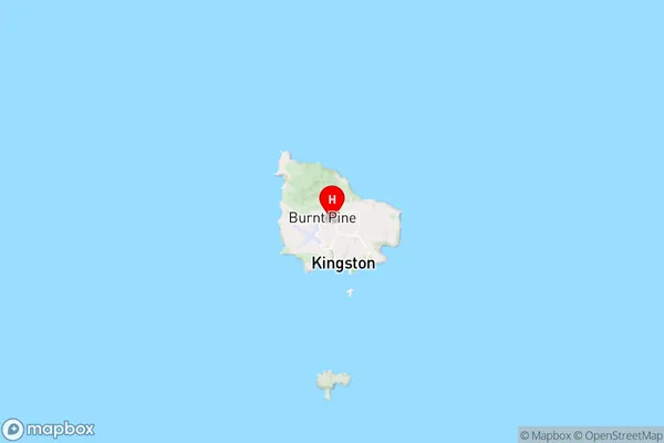
-29.0338625,167.9525864 (latitude/longitude)Norfolk Island Area Map (Street)

Longitude
146.928783Latitude
-36.084231Norfolk Island Elevation
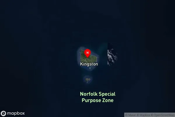
about 175.41 meters height above sea level (Altitude)Norfolk Island Suburb Map (Satellite)

Distances
The distance from Norfolk Island, Other Territories, NSW to AU Greater Capital CitiesSA1 Code 2011
10901117216SA1 Code 2016
90104100403SA2 Code
901041004SA3 Code
90104SA4 Code
901RA 2011
2RA 2016
5MMM 2015
2MMM 2019
7Charge Zone
NFLGA Region
AlburyLGA Code
10050Electorate
Bean