Sydney Gateway Facility Area, Sydney Gateway Facility Postcode(2891) & Map in Sydney Gateway Facility, Sydney - City and Inner South, NSW
Sydney Gateway Facility Area, Sydney Gateway Facility Postcode(2891) & Map in Sydney Gateway Facility, Sydney - City and Inner South, NSW, AU, Postcode: 2891
Sydney Gateway Facility, Sydney - Haymarket - The Rocks, Sydney Inner City, Sydney - City and Inner South, New South Wales, Australia, 2891
Sydney Gateway Facility Postcode
Area Name
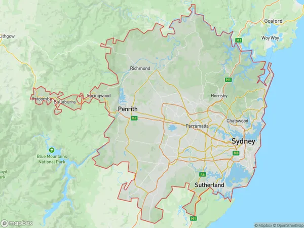
Sydney Gateway FacilitySydney Gateway Facility Suburb Area Map (Polygon)

Sydney Gateway Facility Introduction
The Sydney Gateway Facility is a major logistics and distribution center located in the Sydney suburb of Botany. It is designed to handle up to 5 million TEU of cargo annually and is operated by DP World. The facility features state-of-the-art infrastructure and technology, including a container terminal, rail yard, and warehouse. It is strategically located to serve the growing demand for logistics services in Sydney and the surrounding region.State Name
City or Big Region
District or Regional Area
Suburb Name
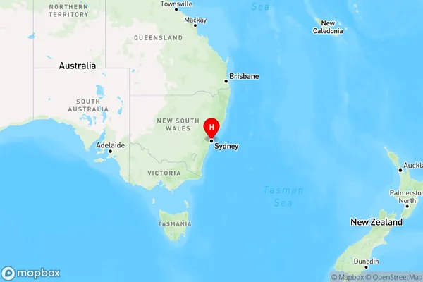
Sydney Gateway Facility Region Map

Country
Main Region in AU
R3Coordinates
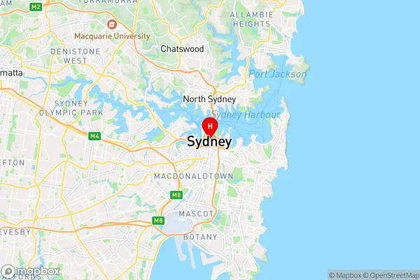
-33.8688,151.209 (latitude/longitude)Sydney Gateway Facility Area Map (Street)

Longitude
151.209Latitude
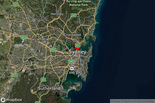
-33.8688Sydney Gateway Facility Suburb Map (Satellite)

Distances
The distance from Sydney Gateway Facility, Sydney - City and Inner South, NSW to AU Greater Capital CitiesSA1 Code 2011
11703133746SA1 Code 2016
11703133746SA2 Code
117031337SA3 Code
11703SA4 Code
117RA 2011
1RA 2016
1MMM 2015
1MMM 2019
1Charge Zone
N2LGA Region
SydneyLGA Code
17200Electorate
Canberra