Bowan Park Area, Bowan Park Postcode(2864) & Map in Bowan Park, Central West, NSW
Bowan Park Area, Bowan Park Postcode(2864) & Map in Bowan Park, Central West, NSW, AU, Postcode: 2864
Bowan Park, Orange Region, Orange, Central West, New South Wales, Australia, 2864
Bowan Park Postcode
Area Name
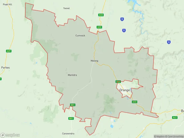
Bowan ParkBowan Park Suburb Area Map (Polygon)

Bowan Park Introduction
Bowan Park is a heritage-listed park located in Central West, NSW, AU. It is situated on the banks of the Macquarie River and was established in 1810. The park features a variety of historic buildings, including a convict-built church, a courthouse, and a prison. It also has a large collection of native plants and animals, including kangaroos, wallabies, and birds. Bowan Park is a popular destination for tourists and locals alike and is known for its beautiful gardens and peaceful atmosphere.State Name
City or Big Region
District or Regional Area
Suburb Name
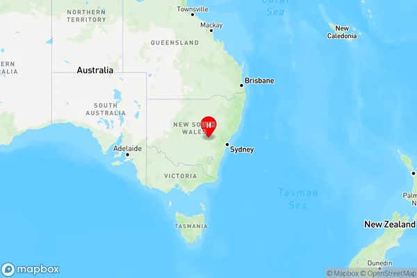
Bowan Park Region Map

Country
Main Region in AU
R3Coordinates
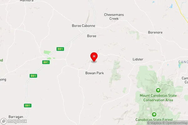
-33.299294,148.8407738 (latitude/longitude)Bowan Park Area Map (Street)

Longitude
148.731814Latitude
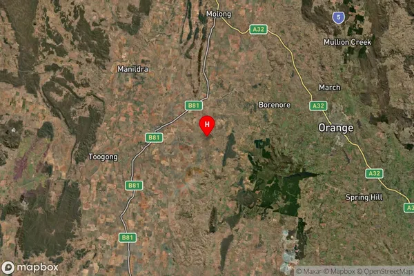
-33.340269Bowan Park Suburb Map (Satellite)

Distances
The distance from Bowan Park, Central West, NSW to AU Greater Capital CitiesSA1 Code 2011
10304107929SA1 Code 2016
10304107929SA2 Code
103041079SA3 Code
10304SA4 Code
103RA 2011
2RA 2016
2MMM 2015
5MMM 2019
5Charge Zone
N2LGA Region
CabonneLGA Code
11400Electorate
Calare