Erskineville Area, Erskineville Postcode(2043) & Map in Erskineville, Sydney - City and Inner South, NSW
Erskineville Area, Erskineville Postcode(2043) & Map in Erskineville, Sydney - City and Inner South, NSW, AU, Postcode: 2043
Erskineville, Erskineville - Alexandria, Sydney Inner City, Sydney - City and Inner South, New South Wales, Australia, 2043
Erskineville Postcode
Area Name
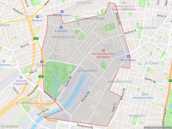
ErskinevilleErskineville Suburb Area Map (Polygon)

Erskineville Introduction
Erskineville is a suburb in Sydney, Australia, 5 kilometers from the city center. It is known for its vibrant arts scene, with numerous galleries and studios located in the area. The suburb has a diverse population and is home to many young professionals and families. It is also home to several popular cafes, restaurants, and bars, making it a popular nightlife destination. Erskineville is well-connected to other parts of Sydney via public transportation, with several bus and train lines passing through the area.State Name
City or Big Region
District or Regional Area
Suburb Name
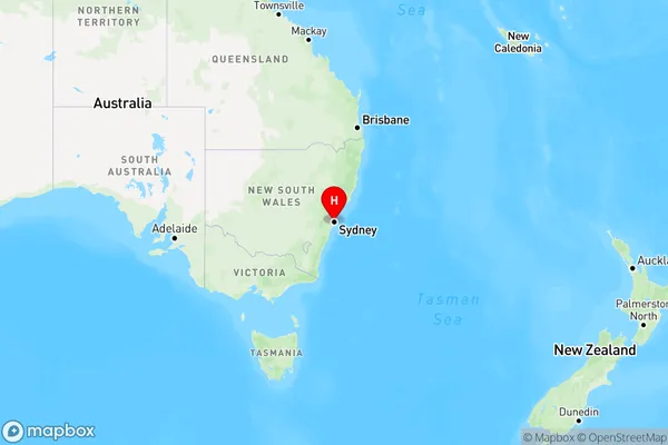
Erskineville Region Map

Country
Main Region in AU
R1Coordinates
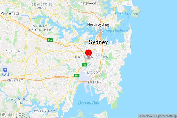
-33.9023649,151.1854757 (latitude/longitude)Erskineville Area Map (Street)

Longitude
151.184665Latitude
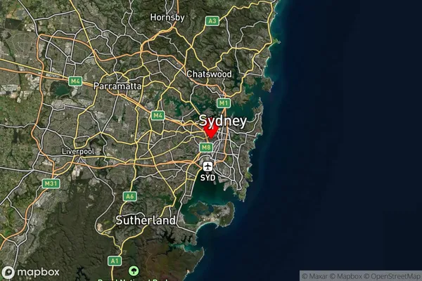
-33.903521Erskineville Suburb Map (Satellite)

Distances
The distance from Erskineville, Sydney - City and Inner South, NSW to AU Greater Capital CitiesSA1 Code 2011
11703133002SA1 Code 2016
11703133033SA2 Code
117031330SA3 Code
11703SA4 Code
117RA 2011
1RA 2016
1MMM 2015
1MMM 2019
1Charge Zone
N1LGA Region
SydneyLGA Code
17200Electorate
Sydney