Hmas Watson Area, Hmas Watson Postcode(2030) & Map in Hmas Watson, Sydney - Eastern Suburbs, NSW
Hmas Watson Area, Hmas Watson Postcode(2030) & Map in Hmas Watson, Sydney - Eastern Suburbs, NSW, AU, Postcode: 2030
Hmas Watson, Rose Bay - Vaucluse - Watsons Bay, Eastern Suburbs - North, Sydney - Eastern Suburbs, New South Wales, Australia, 2030
Hmas Watson Postcode
Area Name
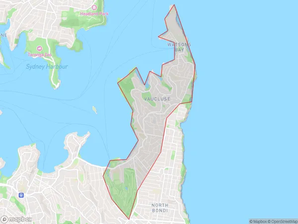
Hmas WatsonHmas Watson Suburb Area Map (Polygon)

Hmas Watson Introduction
Hmas Watson is a heritage-listed former naval ship and now a museum located in Sydney, Eastern Suburbs, New South Wales, Australia. It was built by the Royal Navy in 1914 and served in World War I and World War II. The ship is named after Captain Sir Thomas Watson, who was the first Governor of New South Wales. It is a significant part of Australia's naval history and is open to the public for tours and exhibitions.State Name
City or Big Region
District or Regional Area
Suburb Name
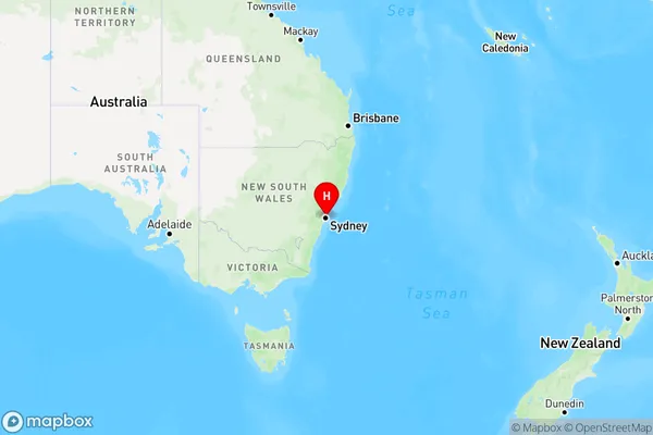
Hmas Watson Region Map

Country
Main Region in AU
R1Coordinates
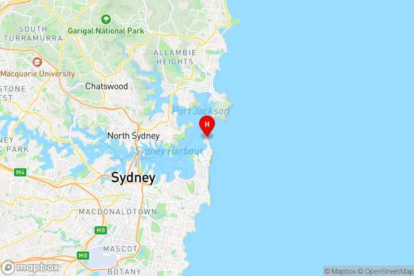
-33.8373221,151.2817246 (latitude/longitude)Hmas Watson Area Map (Street)

Longitude
151.275977Latitude
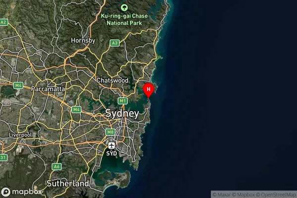
-33.858378Hmas Watson Suburb Map (Satellite)

Distances
The distance from Hmas Watson, Sydney - Eastern Suburbs, NSW to AU Greater Capital CitiesSA1 Code 2011
11801134629SA1 Code 2016
11801134629SA2 Code
118011346SA3 Code
11801SA4 Code
118RA 2011
1RA 2016
1MMM 2015
1MMM 2019
1Charge Zone
N1LGA Region
WoollahraLGA Code
18500Electorate
Wentworth