North Bondi Area, North Bondi Postcode(2026) & Map in North Bondi, Sydney - Eastern Suburbs, NSW
North Bondi Area, North Bondi Postcode(2026) & Map in North Bondi, Sydney - Eastern Suburbs, NSW, AU, Postcode: 2026
North Bondi, Bondi Beach - North Bondi, Eastern Suburbs - North, Sydney - Eastern Suburbs, New South Wales, Australia, 2026
North Bondi Postcode
Area Name
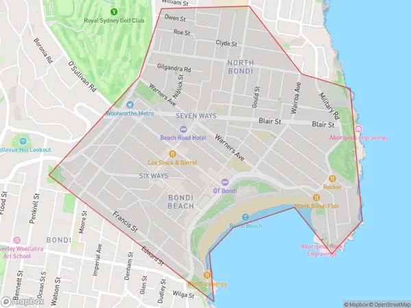
North BondiNorth Bondi Suburb Area Map (Polygon)

North Bondi Introduction
North Bondi is a suburb in Sydney's Eastern Suburbs, known for its iconic beach, cafes, and vibrant community. It is located 8 km from Sydney's central business district and is surrounded by beautiful parks and gardens. The suburb has a mixed population of young professionals and families and is home to many popular restaurants and bars. North Bondi also has a strong sense of community spirit and hosts numerous events and festivals throughout the year.State Name
City or Big Region
District or Regional Area
Suburb Name
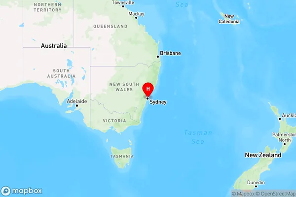
North Bondi Region Map

Country
Main Region in AU
R1Coordinates
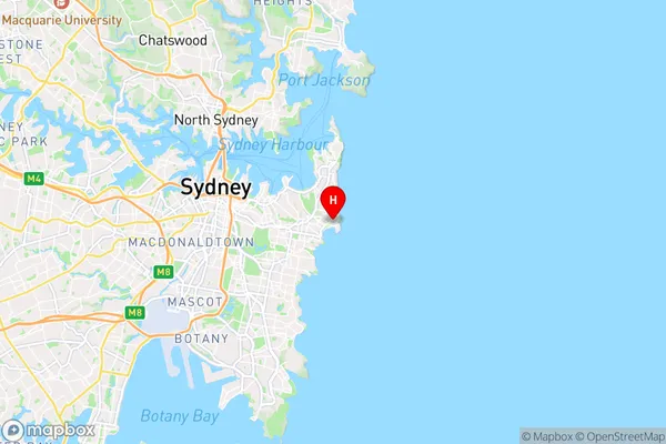
-33.8879,151.2808 (latitude/longitude)North Bondi Area Map (Street)

Longitude
151.268968Latitude
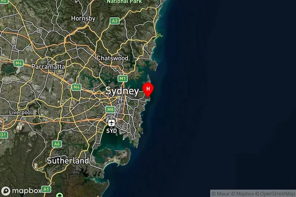
-33.891041North Bondi Suburb Map (Satellite)

Distances
The distance from North Bondi, Sydney - Eastern Suburbs, NSW to AU Greater Capital CitiesSA1 Code 2011
11801134032SA1 Code 2016
11801134032SA2 Code
118011340SA3 Code
11801SA4 Code
118RA 2011
1RA 2016
1MMM 2015
1MMM 2019
1Charge Zone
N1LGA Region
WaverleyLGA Code
18050Electorate
Wentworth