Hmas Kuttabul Area, Hmas Kuttabul Postcode(2011) & Map in Hmas Kuttabul, Sydney - City and Inner South, NSW
Hmas Kuttabul Area, Hmas Kuttabul Postcode(2011) & Map in Hmas Kuttabul, Sydney - City and Inner South, NSW, AU, Postcode: 2011
Hmas Kuttabul, Potts Point - Woolloomooloo, Sydney Inner City, Sydney - City and Inner South, New South Wales, Australia, 2011
Hmas Kuttabul Postcode
Area Name
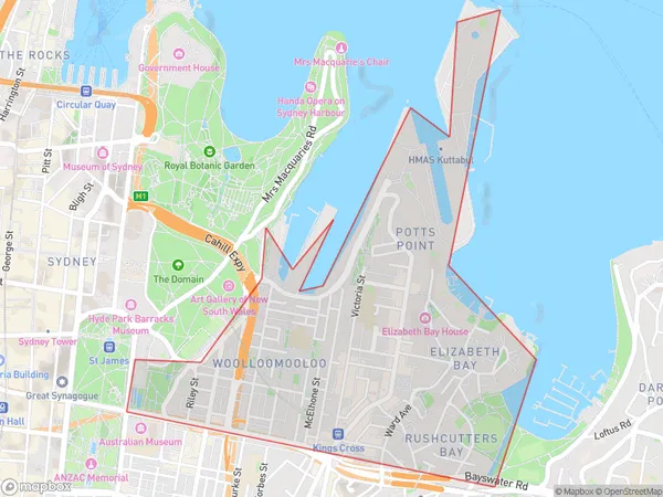
Hmas KuttabulHmas Kuttabul Suburb Area Map (Polygon)

Hmas Kuttabul Introduction
Hmas Kuttabul is a former Royal Australian Navy (RAN) base located in Sydney, New South Wales, Australia. It was commissioned in 1942 and served as a training and support base for naval vessels during World War II. The base was decommissioned in 1946 and later converted into a residential and commercial precinct. Today, it is home to a variety of businesses, including a marina, restaurants, and apartments.State Name
City or Big Region
District or Regional Area
Suburb Name
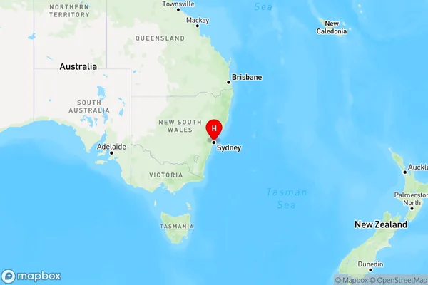
Hmas Kuttabul Region Map

Country
Main Region in AU
R1Coordinates
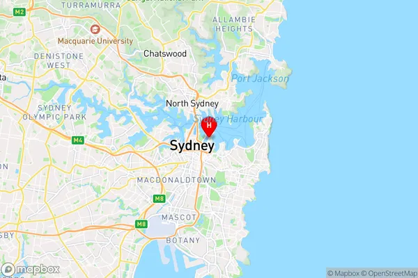
-33.8646321,151.2250345 (latitude/longitude)Hmas Kuttabul Area Map (Street)

Longitude
151.221626Latitude
-33.873599Hmas Kuttabul Elevation
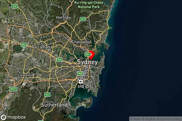
about 32.67 meters height above sea level (Altitude)Hmas Kuttabul Suburb Map (Satellite)

Distances
The distance from Hmas Kuttabul, Sydney - City and Inner South, NSW to AU Greater Capital CitiesSA1 Code 2011
11703133317SA1 Code 2016
11703133317SA2 Code
117031333SA3 Code
11703SA4 Code
117RA 2011
1RA 2016
1MMM 2015
1MMM 2019
1Charge Zone
N1LGA Region
SydneyLGA Code
17200Electorate
Wentworth