Elizabeth Bay Area, Elizabeth Bay Postcode(2011) & Map in Elizabeth Bay, Sydney - City and Inner South, NSW
Elizabeth Bay Area, Elizabeth Bay Postcode(2011) & Map in Elizabeth Bay, Sydney - City and Inner South, NSW, AU, Postcode: 2011
Elizabeth Bay, Potts Point - Woolloomooloo, Sydney Inner City, Sydney - City and Inner South, New South Wales, Australia, 2011
Elizabeth Bay Postcode
Area Name
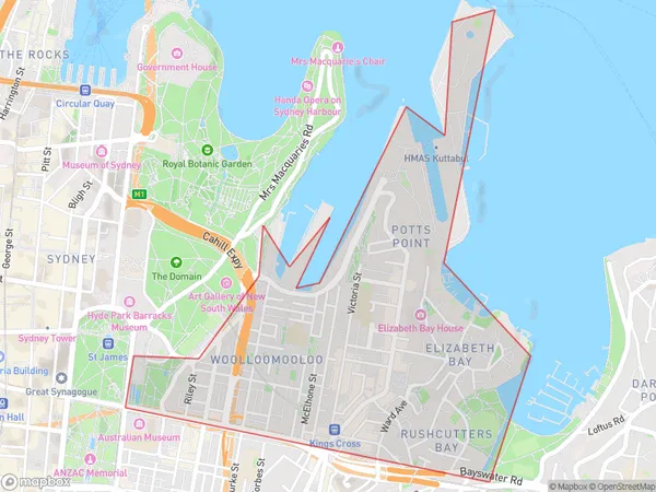
Elizabeth BayElizabeth Bay Suburb Area Map (Polygon)

Elizabeth Bay Introduction
Elizabeth Bay is a picturesque suburb in Sydney's inner-south, known for its beautiful beaches, leafy streets, and vibrant café culture. It is located between the Harbour Bridge and the Botanic Gardens and is a popular destination for locals and tourists alike. The suburb has a rich history and is home to many historic buildings, including the Elizabeth Bay House and the Cadman Cottage.State Name
City or Big Region
District or Regional Area
Suburb Name
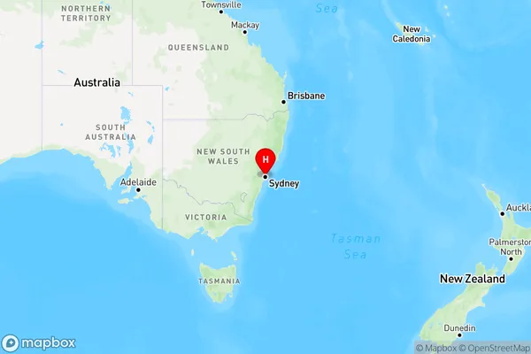
Elizabeth Bay Region Map

Country
Main Region in AU
R1Coordinates
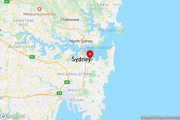
-33.87143,151.22841 (latitude/longitude)Elizabeth Bay Area Map (Street)

Longitude
151.221626Latitude
-33.873599Elizabeth Bay Elevation
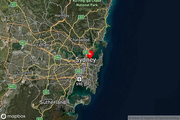
about 32.67 meters height above sea level (Altitude)Elizabeth Bay Suburb Map (Satellite)

Distances
The distance from Elizabeth Bay, Sydney - City and Inner South, NSW to AU Greater Capital CitiesSA1 Code 2011
11703133331SA1 Code 2016
11703133331SA2 Code
117031333SA3 Code
11703SA4 Code
117RA 2011
1RA 2016
1MMM 2015
1MMM 2019
1Charge Zone
N1LGA Region
SydneyLGA Code
17200Electorate
Wentworth