Taylor Square Area, Taylor Square Postcode(2010) & Map in Taylor Square, Sydney - City and Inner South, NSW
Taylor Square Area, Taylor Square Postcode(2010) & Map in Taylor Square, Sydney - City and Inner South, NSW, AU, Postcode: 2010
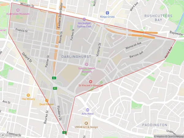
Taylor Square, Darlinghurst, Sydney Inner City, Sydney - City and Inner South, New South Wales, Australia, 2010
Taylor Square Postcode
Area Name
Taylor SquareTaylor Square Suburb Area Map (Polygon)

Taylor Square Introduction
Taylor Square is a historic pedestrian plaza and public square in Sydney, Australia, located in the city's central business district. It is named after Sir Richard Taylor, a former governor of New South Wales. The square is known for its landmark buildings, including the Sydney Town Hall, the State Library of New South Wales, and the Australian Museum. It is also a popular gathering place for protests, events, and festivals.State Name
City or Big Region
District or Regional Area
Suburb Name
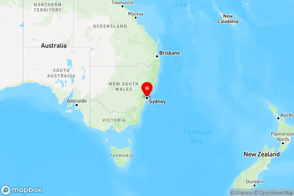
Taylor Square Region Map

Country
Main Region in AU
R1Coordinates
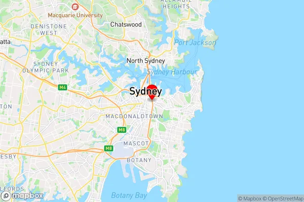
-33.881,151.217 (latitude/longitude)Taylor Square Area Map (Street)

Longitude
151.212262Latitude
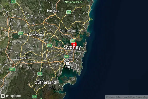
-33.884119Taylor Square Suburb Map (Satellite)

Distances
The distance from Taylor Square, Sydney - City and Inner South, NSW to AU Greater Capital CitiesSA1 Code 2011
11703132904SA1 Code 2016
11703132904SA2 Code
117031329SA3 Code
11703SA4 Code
117RA 2011
1RA 2016
1MMM 2015
1MMM 2019
1Charge Zone
N1LGA Region
SydneyLGA Code
17200Electorate
Wentworth