Ultimo Area, Ultimo Postcode(2007) & Map in Ultimo, Sydney - City and Inner South, NSW
Ultimo Area, Ultimo Postcode(2007) & Map in Ultimo, Sydney - City and Inner South, NSW, AU, Postcode: 2007
Ultimo, Pyrmont - Ultimo, Sydney Inner City, Sydney - City and Inner South, New South Wales, Australia, 2007
Ultimo Postcode
Area Name
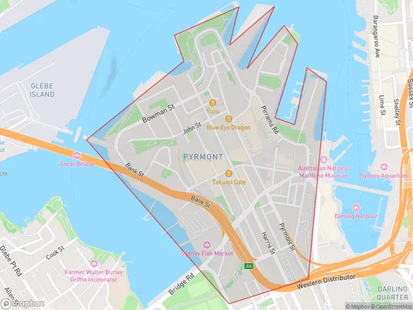
UltimoUltimo Suburb Area Map (Polygon)

Ultimo Introduction
Ultimo is a suburb in Sydney's inner-south, known for its vibrant cultural scene and bustling commercial hub. It is home to the University of New South Wales and is surrounded by parks, cafes, and restaurants. Ultimo is also well-connected to the city center via public transportation.State Name
City or Big Region
District or Regional Area
Suburb Name
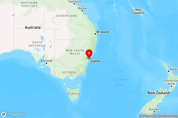
Ultimo Region Map

Country
Main Region in AU
R1Coordinates
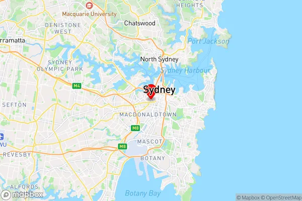
-33.8823187,151.197131 (latitude/longitude)Ultimo Area Map (Street)

Longitude
151.19665Latitude
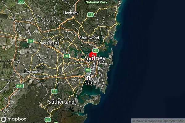
-33.883189Ultimo Suburb Map (Satellite)

Distances
The distance from Ultimo, Sydney - City and Inner South, NSW to AU Greater Capital CitiesSA1 Code 2011
11703133427SA1 Code 2016
11703133453SA2 Code
117031334SA3 Code
11703SA4 Code
117RA 2011
1RA 2016
1MMM 2015
1MMM 2019
1Charge Zone
N1LGA Region
SydneyLGA Code
17200Electorate
Sydney