The University Of Sydney Area, The University Of Sydney Postcode(2006) & Map in The University Of Sydney, Sydney - City and Inner South, NSW
The University Of Sydney Area, The University Of Sydney Postcode(2006) & Map in The University Of Sydney, Sydney - City and Inner South, NSW, AU, Postcode: 2006
The University Of Sydney, Newtown - Camperdown - Darlington, Sydney Inner City, Sydney - City and Inner South, New South Wales, Australia, 2006
The University Of Sydney Postcode
Area Name
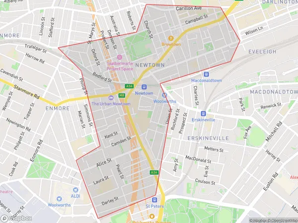
The University Of SydneyThe University Of Sydney Suburb Area Map (Polygon)

The University Of Sydney Introduction
The University of Sydney is a public research university located in Sydney, Australia. It is ranked 45th in the world by the QS World University Rankings and is known for its excellence in teaching and research in a wide range of disciplines. The university has a strong focus on sustainability and social justice, and its alumni include many notable figures in politics, science, and the arts.State Name
City or Big Region
District or Regional Area
Suburb Name
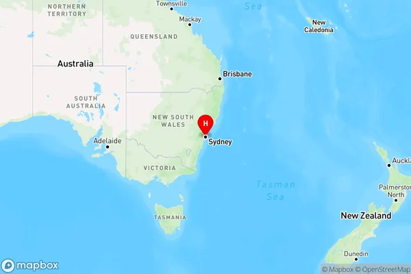
The University Of Sydney Region Map

Country
Main Region in AU
R1Coordinates
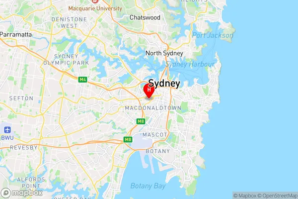
-33.8885748,151.1873494 (latitude/longitude)The University Of Sydney Area Map (Street)

Longitude
151.186507Latitude
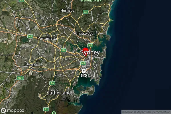
-33.889219The University Of Sydney Suburb Map (Satellite)

Distances
The distance from The University Of Sydney, Sydney - City and Inner South, NSW to AU Greater Capital CitiesSA1 Code 2011
11703133202SA1 Code 2016
11703133254SA2 Code
117031332SA3 Code
11703SA4 Code
117RA 2011
1RA 2016
1MMM 2015
1MMM 2019
1Charge Zone
N1LGA Region
SydneyLGA Code
17200Electorate
Sydney