Parliament House Area, Parliament House Postcode(2000) & Map in Parliament House, Sydney - City and Inner South, NSW
Parliament House Area, Parliament House Postcode(2000) & Map in Parliament House, Sydney - City and Inner South, NSW, AU, Postcode: 2000
Parliament House, Sydney - Haymarket - The Rocks, Sydney Inner City, Sydney - City and Inner South, New South Wales, Australia, 2000
Parliament House Postcode
Area Name
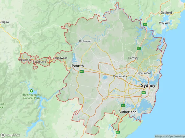
Parliament HouseParliament House Suburb Area Map (Polygon)

Parliament House Introduction
The Parliament House, located in Sydney, is the meeting place of the New South Wales Legislative Assembly and the Australian Senate. It is a prominent architectural landmark known for its Gothic Revival style and expansive gardens. The building was designed by Edmund Blacket and constructed between 1880 and 1904 using sandstone from nearby quarries. It has undergone several renovations and expansions over the years, including the addition of the Parliamentary Library in 1988.State Name
City or Big Region
District or Regional Area
Suburb Name
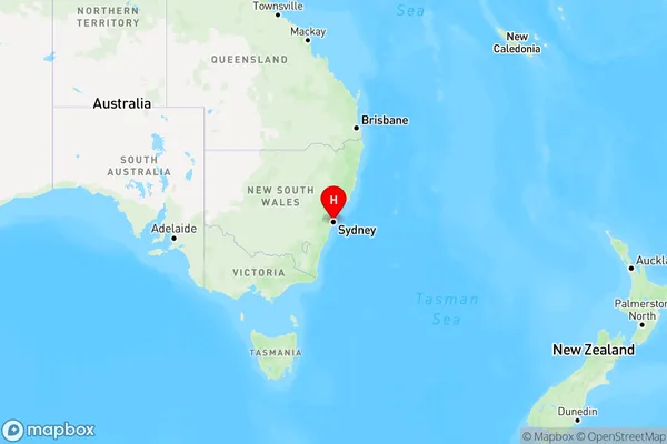
Parliament House Region Map

Country
Main Region in AU
R1Coordinates
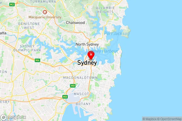
-33.865938,151.217157 (latitude/longitude)Parliament House Area Map (Street)

Longitude
151.256649Latitude
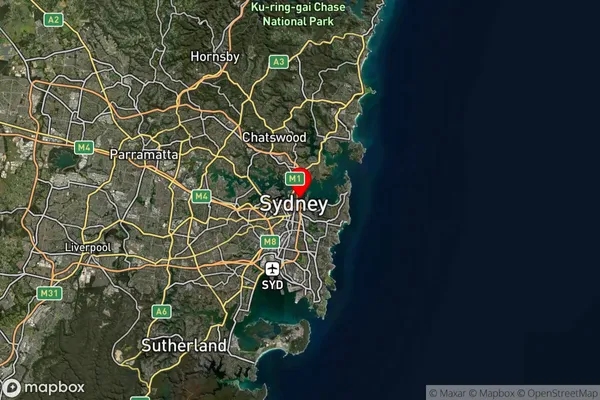
-33.859953Parliament House Suburb Map (Satellite)

Distances
The distance from Parliament House, Sydney - City and Inner South, NSW to AU Greater Capital CitiesSA1 Code 2011
11703133750SA1 Code 2016
11703133750SA2 Code
117031337SA3 Code
11703SA4 Code
117RA 2011
1RA 2016
1MMM 2015
1MMM 2019
1Charge Zone
N1LGA Region
WoollahraLGA Code
18500Electorate
Sydney