Dawes Point Area, Dawes Point Postcode(2000) & Map in Dawes Point, Sydney - City and Inner South, NSW
Dawes Point Area, Dawes Point Postcode(2000) & Map in Dawes Point, Sydney - City and Inner South, NSW, AU, Postcode: 2000
Dawes Point, Sydney - Haymarket - The Rocks, Sydney Inner City, Sydney - City and Inner South, New South Wales, Australia, 2000
Dawes Point Postcode
Area Name
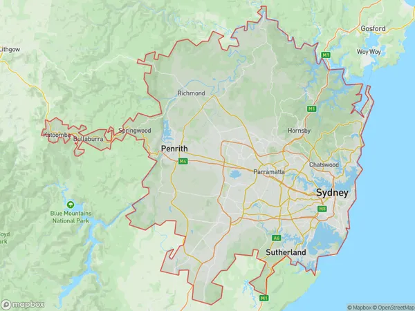
Dawes PointDawes Point Suburb Area Map (Polygon)

Dawes Point Introduction
Dawes Point is a picturesque suburb located in the City and Inner South of NSW, Australia. It is known for its stunning harbour views, historic buildings, and vibrant community. The area is home to the Sydney Opera House, Luna Park, and the Royal Botanical Gardens. It is also a popular filming location, with several movies and TV shows having been shot in the area. Dawes Point is a great place to live, work, and visit, with its unique blend of culture, history, and natural beauty.State Name
City or Big Region
District or Regional Area
Suburb Name
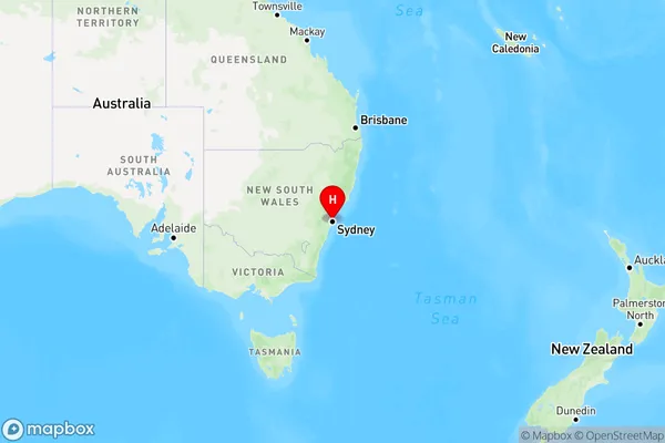
Dawes Point Region Map

Country
Main Region in AU
R1Coordinates
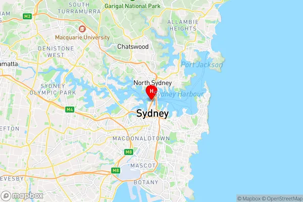
-33.856,151.207 (latitude/longitude)Dawes Point Area Map (Street)

Longitude
151.256649Latitude
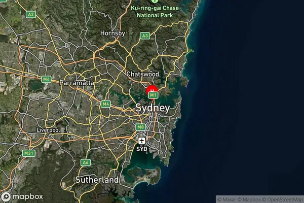
-33.859953Dawes Point Suburb Map (Satellite)

Distances
The distance from Dawes Point, Sydney - City and Inner South, NSW to AU Greater Capital CitiesSA1 Code 2011
11703133725SA1 Code 2016
11703133725SA2 Code
117031337SA3 Code
11703SA4 Code
117RA 2011
1RA 2016
1MMM 2015
1MMM 2019
1Charge Zone
N1LGA Region
WoollahraLGA Code
18500Electorate
Sydney