Greenwich Area, Greenwich Postcode(2065) & Map in Greenwich, Sydney - North Sydney and Hornsby, NSW
Greenwich Area, Greenwich Postcode(2065) & Map in Greenwich, Sydney - North Sydney and Hornsby, NSW, AU, Postcode: 2065
Greenwich, Lane Cove - Greenwich, Chatswood - Lane Cove, Sydney - North Sydney and Hornsby, New South Wales, Australia, 2065
Greenwich Postcode
Area Name
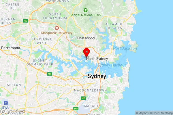
GreenwichGreenwich Suburb Area Map (Polygon)

Greenwich Introduction
Greenwich, Sydney - North Sydney and Hornsby is a suburb located in the Upper North Shore of Sydney, in the state of New South Wales, Australia. It is situated 10 kilometers north-east of the Sydney central business district and is part of the Northern Beaches Council. The suburb is known for its leafy streets, historic homes, and vibrant community. It is home to several parks, including Greenwich Park, which offers a peaceful escape from the city with its lush gardens and walking trails.State Name
City or Big Region
District or Regional Area
Suburb Name
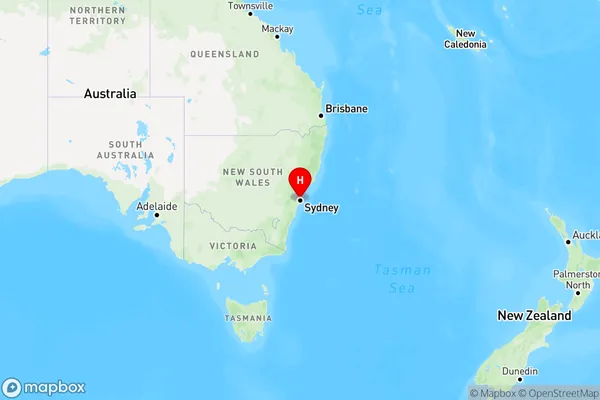
Greenwich Region Map
Country
Main Region in AU
R1Coordinates
-33.83302,151.18362 (latitude/longitude)Greenwich Area Map (Street)
Longitude
151.192212Latitude
-33.828361Greenwich Elevation
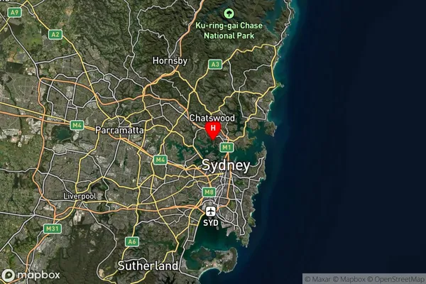
about -3492.00 meters height above sea level (Altitude)Greenwich Suburb Map (Satellite)
Distances
The distance from Greenwich, Sydney - North Sydney and Hornsby, NSW to AU Greater Capital CitiesSA1 Code 2011
12101140033SA1 Code 2016
12101140033SA2 Code
121011400SA3 Code
12101SA4 Code
121RA 2011
1RA 2016
1MMM 2015
1MMM 2019
1Charge Zone
N1LGA Region
North SydneyLGA Code
15950Electorate
Bennelong