Missenden Road Area, Missenden Road Postcode(2050) & Map in Missenden Road, Sydney - City and Inner South, NSW
Missenden Road Area, Missenden Road Postcode(2050) & Map in Missenden Road, Sydney - City and Inner South, NSW, AU, Postcode: 2050
Missenden Road, Newtown - Camperdown - Darlington, Sydney Inner City, Sydney - City and Inner South, New South Wales, Australia, 2050
Missenden Road Postcode
Area Name
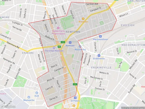
Missenden RoadMissenden Road Suburb Area Map (Polygon)

Missenden Road Introduction
Missenden Road is a major road in Sydney's inner-south, connecting the suburbs of Glebe, Chippendale, and Surry Hills. It is known for its vibrant cafes, restaurants, and boutique shops. The road also features a number of historic buildings, including the Missenden Manor, which is a heritage-listed site.State Name
City or Big Region
District or Regional Area
Suburb Name
Missenden Road Region Map

Country
Main Region in AU
R1Coordinates
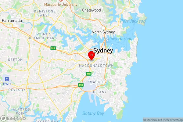
-33.8896644,151.1821576 (latitude/longitude)Missenden Road Area Map (Street)

Longitude
151.17598Latitude
-33.89037Missenden Road Suburb Map (Satellite)

Distances
The distance from Missenden Road, Sydney - City and Inner South, NSW to AU Greater Capital CitiesSA1 Code 2011
11703133202SA1 Code 2016
11703133253SA2 Code
117031332SA3 Code
11703SA4 Code
117RA 2011
1RA 2016
1MMM 2015
1MMM 2019
1Charge Zone
N1LGA Region
Inner WestLGA Code
14170Electorate
Sydney