Lewisham Area, Lewisham Postcode(2049) & Map in Lewisham, Sydney - Inner West, NSW
Lewisham Area, Lewisham Postcode(2049) & Map in Lewisham, Sydney - Inner West, NSW, AU, Postcode: 2049
Lewisham, Dulwich Hill - Lewisham, Strathfield - Burwood - Ashfield, Sydney - Inner West, New South Wales, Australia, 2049
Lewisham Postcode
Area Name
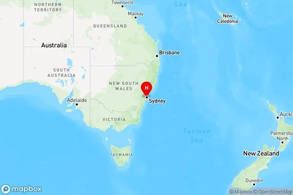
LewishamLewisham Suburb Area Map (Polygon)

Lewisham Introduction
Lewisham is a suburb in Sydney's Inner West, known for its vibrant multicultural community, diverse cuisine, and proximity to the city. It is home to a large Greek population and features a bustling retail and entertainment district along with numerous parks and recreational facilities. The area is well-serviced by public transport, with trains and buses providing easy access to the CBD.State Name
City or Big Region
District or Regional Area
Suburb Name
Lewisham Region Map

Country
Main Region in AU
R1Coordinates
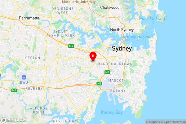
-33.8949,151.144415 (latitude/longitude)Lewisham Area Map (Street)

Longitude
151.15085Latitude
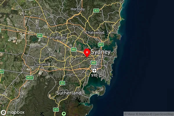
-33.897219Lewisham Suburb Map (Satellite)

Distances
The distance from Lewisham, Sydney - Inner West, NSW to AU Greater Capital CitiesSA1 Code 2011
12003139411SA1 Code 2016
12003139411SA2 Code
120031394SA3 Code
12003SA4 Code
120RA 2011
1RA 2016
1MMM 2015
1MMM 2019
1Charge Zone
N1LGA Region
Inner WestLGA Code
14170Electorate
Grayndler