Fyshwick Area, Fyshwick Postcode(2609) & Map in Fyshwick, Australian Capital Territory, ACT
Fyshwick Area, Fyshwick Postcode(2609) & Map in Fyshwick, Australian Capital Territory, ACT, AU, Postcode: 2609
Fyshwick, Fyshwick, South Canberra, Australian Capital Territory, Australian Capital Territory, Australia, 2609
Fyshwick Postcode
Area Name
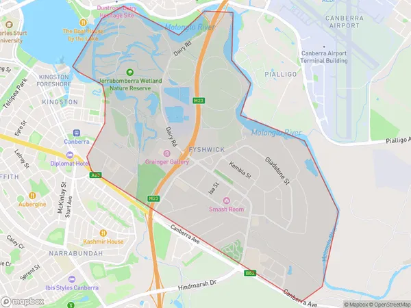
FyshwickFyshwick Suburb Area Map (Polygon)

Fyshwick Introduction
Fyshwick is a suburb in the Australian Capital Territory (ACT) located in the northern part of Canberra. It is known for its industrial and commercial areas, including the Fyshwick Markets, which is a large wholesale market that sells a variety of goods, including fresh produce, clothing, and household items. The suburb is also home to a number of government agencies and institutions, including the Australian Taxation Office and the Australian Institute of Sport.State Name
City or Big Region
District or Regional Area
Suburb Name
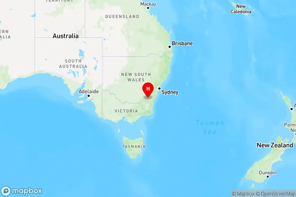
Fyshwick Region Map

Country
Main Region in AU
R2Coordinates
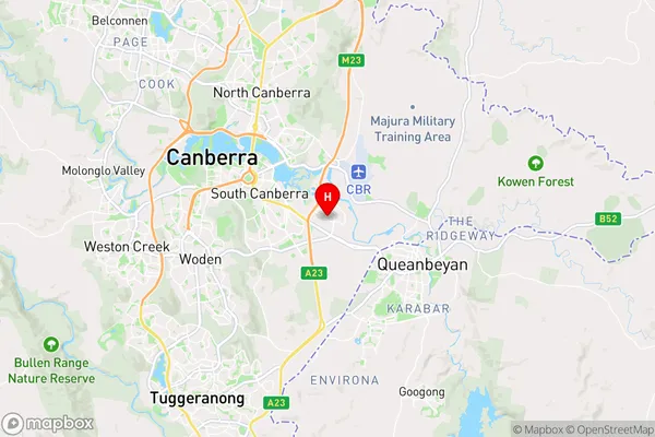
-35.329,149.174 (latitude/longitude)Fyshwick Area Map (Street)

Longitude
149.170023Latitude
-35.31537Fyshwick Elevation
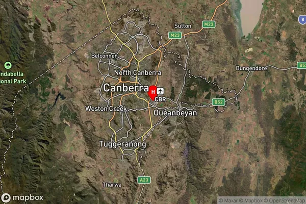
about 569.38 meters height above sea level (Altitude)Fyshwick Suburb Map (Satellite)

Distances
The distance from Fyshwick, Australian Capital Territory, ACT to AU Greater Capital CitiesSA1 Code 2011
80103103001SA1 Code 2016
80106113007SA2 Code
801061130SA3 Code
80106SA4 Code
801RA 2011
1RA 2016
1MMM 2015
1MMM 2019
1Charge Zone
N2LGA Region
Unincorporated ACTLGA Code
89399Electorate
Canberra