Greystanes Area, Greystanes Postcode(2145) & Map in Greystanes, Sydney - Parramatta, NSW
Greystanes Area, Greystanes Postcode(2145) & Map in Greystanes, Sydney - Parramatta, NSW, AU, Postcode: 2145
Greystanes, Greystanes - Pemulwuy, Merrylands - Guildford, Sydney - Parramatta, New South Wales, Australia, 2145
Greystanes Postcode
Area Name
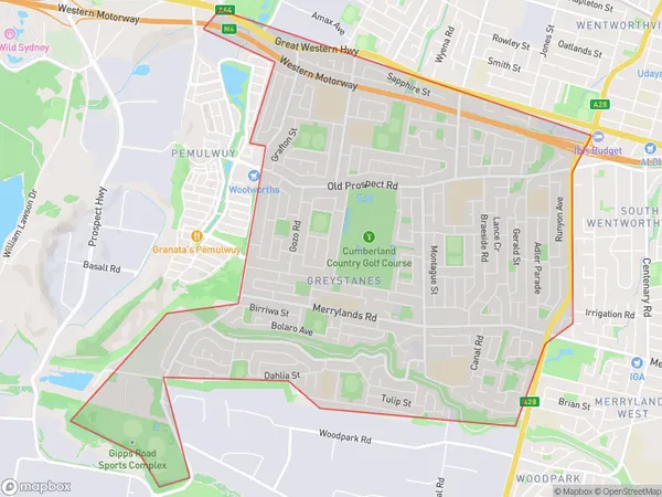
GreystanesGreystanes Suburb Area Map (Polygon)

Greystanes Introduction
Greystanes is a suburb in western Sydney, located 26 kilometers from the CBD. It is part of the City of Canada Bay and is home to a large number of Asian immigrants. The suburb has a variety of shops, restaurants, and parks and is well-connected to public transport. Greystanes is also home to the Greystanes Shopping Centre, one of the largest shopping centres in the region.State Name
City or Big Region
District or Regional Area
Suburb Name
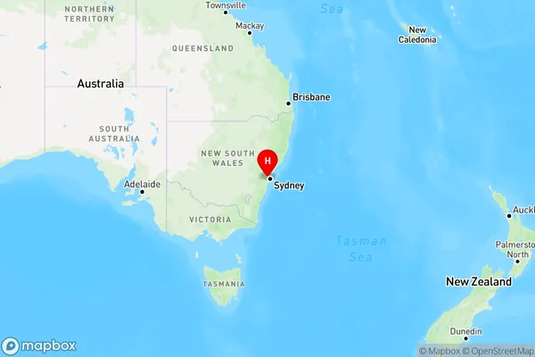
Greystanes Region Map

Country
Main Region in AU
R1Coordinates
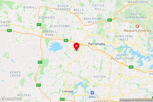
-33.8297061,150.9488947 (latitude/longitude)Greystanes Area Map (Street)

Longitude
150.957425Latitude
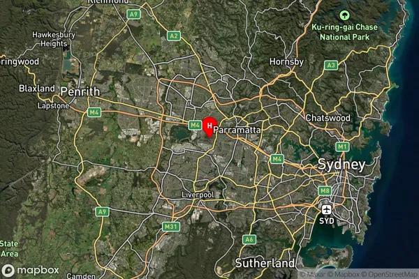
-33.813104Greystanes Suburb Map (Satellite)

Distances
The distance from Greystanes, Sydney - Parramatta, NSW to AU Greater Capital CitiesSA1 Code 2011
12503148216SA1 Code 2016
12503148216SA2 Code
125031482SA3 Code
12503SA4 Code
125RA 2011
1RA 2016
1MMM 2015
1MMM 2019
1Charge Zone
N1LGA Region
CumberlandLGA Code
12380Electorate
Parramatta