Blaxcell Area, Blaxcell Postcode(2142) & Map in Blaxcell, Sydney - Parramatta, NSW
Blaxcell Area, Blaxcell Postcode(2142) & Map in Blaxcell, Sydney - Parramatta, NSW, AU, Postcode: 2142
Blaxcell, Guildford - South Granville, Merrylands - Guildford, Sydney - Parramatta, New South Wales, Australia, 2142
Blaxcell Postcode
Area Name
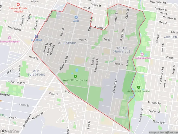
BlaxcellBlaxcell Suburb Area Map (Polygon)

Blaxcell Introduction
Blaxcell is a telecommunications company that provides mobile phone services to the Parramatta area of Sydney, New South Wales, Australia. It is a subsidiary of Optus, one of Australia's largest telecommunications companies. Blaxcell offers a range of mobile phone plans, including prepaid and postpaid options, as well as mobile broadband services. The company has a network of retail stores and authorized resellers throughout the Parramatta region, providing customers with convenient access to their products and services.State Name
City or Big Region
District or Regional Area
Suburb Name
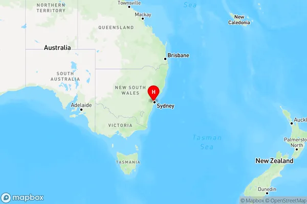
Blaxcell Region Map

Country
Main Region in AU
R1Coordinates
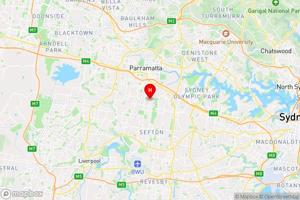
-33.8504194,151.0086307 (latitude/longitude)Blaxcell Area Map (Street)

Longitude
151.015196Latitude
-33.832747Blaxcell Elevation
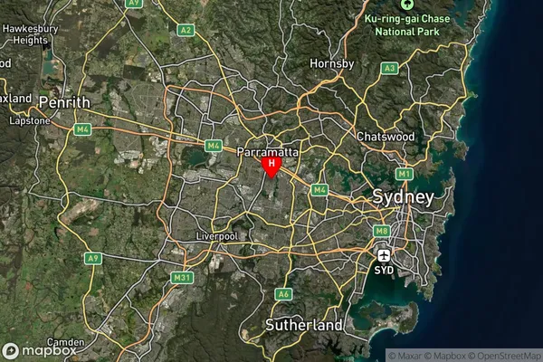
about 5.96 meters height above sea level (Altitude)Blaxcell Suburb Map (Satellite)

Distances
The distance from Blaxcell, Sydney - Parramatta, NSW to AU Greater Capital CitiesSA1 Code 2011
12503148339SA1 Code 2016
12503148339SA2 Code
125031483SA3 Code
12503SA4 Code
125RA 2011
1RA 2016
1MMM 2015
1MMM 2019
1Charge Zone
N1LGA Region
CumberlandLGA Code
12380Electorate
Parramatta