Meadowbank Area, Meadowbank Postcode(2114) & Map in Meadowbank, Sydney - Ryde, NSW
Meadowbank Area, Meadowbank Postcode(2114) & Map in Meadowbank, Sydney - Ryde, NSW, AU, Postcode: 2114
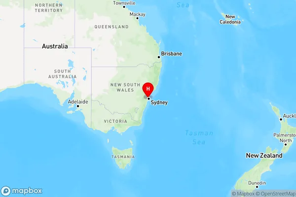
Meadowbank, West Ryde - Meadowbank, Ryde - Hunters Hill, Sydney - Ryde, New South Wales, Australia, 2114
Meadowbank Postcode
Area Name
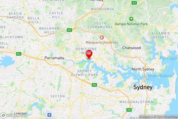
MeadowbankMeadowbank Suburb Area Map (Polygon)

Meadowbank Introduction
Meadowbank is a suburb in the Ryde local government area of New South Wales, Australia. It is located 13 kilometres west of Sydney's central business district on the banks of the Parramatta River. Meadowbank is a major transport hub with a railway station and ferry wharf. The suburb has a variety of shops, restaurants, and recreational facilities, including Meadowbank Park and the Sydney Olympic Park Aquatic Centre.State Name
City or Big Region
District or Regional Area
Suburb Name
Meadowbank Region Map
Country
Main Region in AU
R1Coordinates
-33.81692,151.08333 (latitude/longitude)Meadowbank Area Map (Street)
Longitude
151.084181Latitude
-33.810991Meadowbank Elevation
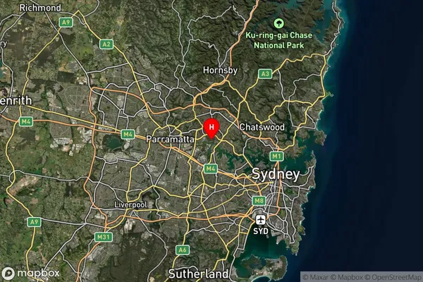
about 12.49 meters height above sea level (Altitude)Meadowbank Suburb Map (Satellite)
Distances
The distance from Meadowbank, Sydney - Ryde, NSW to AU Greater Capital CitiesSA1 Code 2011
12602150301SA1 Code 2016
12602150301SA2 Code
126021503SA3 Code
12602SA4 Code
126RA 2011
1RA 2016
1MMM 2015
1MMM 2019
1Charge Zone
N1LGA Region
RydeLGA Code
16700Electorate
Bennelong