Denistone Area, Denistone Postcode(2114) & Map in Denistone, Sydney - Ryde, NSW
Denistone Area, Denistone Postcode(2114) & Map in Denistone, Sydney - Ryde, NSW, AU, Postcode: 2114
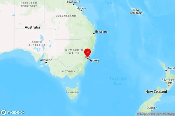
Denistone, Eastwood - Denistone, Ryde - Hunters Hill, Sydney - Ryde, New South Wales, Australia, 2114
Denistone Postcode
Area Name
DenistoneDenistone Suburb Area Map (Polygon)

Denistone Introduction
Denistone is a suburb in the northern suburbs of Sydney, in the state of New South Wales, Australia. It is located 16 kilometers north-west of the Sydney central business district and is part of the Macarthur region. Denistone is named after the Denistone Estate, which was once the home of the wealthy Macarthur family. The suburb has a population of around 11,000 people and is known for its large shopping center, which includes a supermarket, department store, and numerous specialty stores.State Name
City or Big Region
District or Regional Area
Suburb Name
Denistone Region Map
Country
Main Region in AU
R1Coordinates
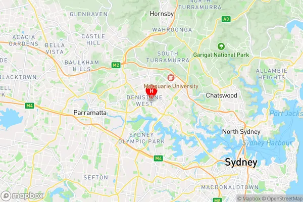
-33.80085,151.08648 (latitude/longitude)Denistone Area Map (Street)
Longitude
151.084181Latitude
-33.810991Denistone Elevation
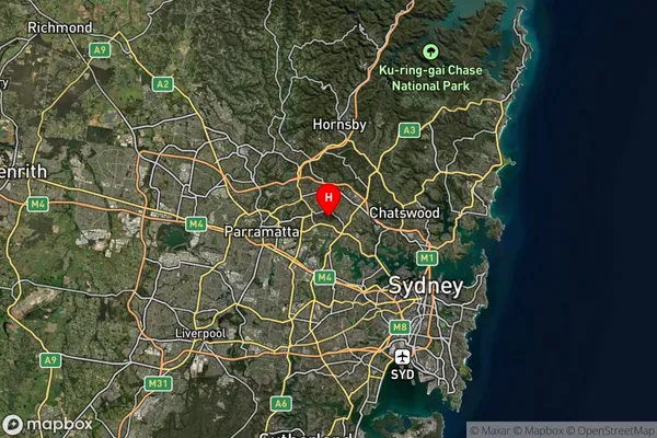
about 12.49 meters height above sea level (Altitude)Denistone Suburb Map (Satellite)
Distances
The distance from Denistone, Sydney - Ryde, NSW to AU Greater Capital CitiesSA1 Code 2011
12602149702SA1 Code 2016
12602149702SA2 Code
126021497SA3 Code
12602SA4 Code
126RA 2011
1RA 2016
1MMM 2015
1MMM 2019
1Charge Zone
N1LGA Region
RydeLGA Code
16700Electorate
Bennelong