Tennyson Point Area, Tennyson Point Postcode(2111) & Map in Tennyson Point, Sydney - Ryde, NSW
Tennyson Point Area, Tennyson Point Postcode(2111) & Map in Tennyson Point, Sydney - Ryde, NSW, AU, Postcode: 2111
Tennyson Point, Gladesville - Huntleys Point, Ryde - Hunters Hill, Sydney - Ryde, New South Wales, Australia, 2111
Tennyson Point Postcode
Area Name
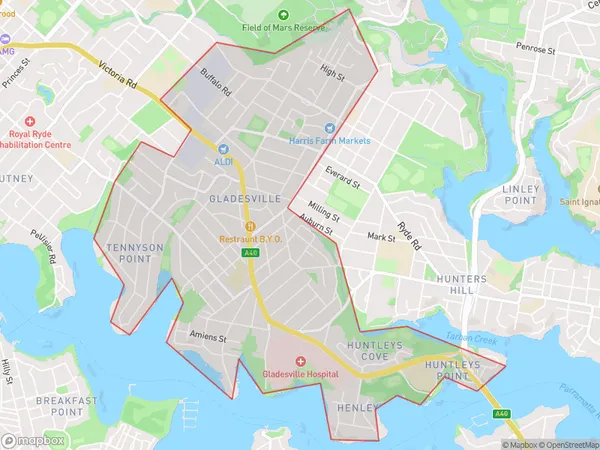
Tennyson PointTennyson Point Suburb Area Map (Polygon)

Tennyson Point Introduction
Tennyson Point is a residential suburb on the northern shore of Sydney Harbour, located in the Ryde local government area of New South Wales, Australia. It is situated between the suburbs of Gladesville and Macquarie Park and is named after Alfred, Lord Tennyson. The area is known for its scenic views, parks, and waterfront properties. It is also home to the Sydney Olympic Park and the Sydney Harbour Bridge.State Name
City or Big Region
District or Regional Area
Suburb Name
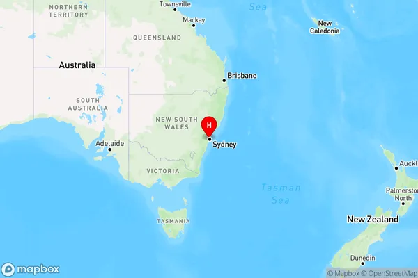
Tennyson Point Region Map

Country
Main Region in AU
R1Coordinates
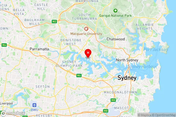
-33.832435,151.116938 (latitude/longitude)Tennyson Point Area Map (Street)

Longitude
151.124488Latitude
-33.829953Tennyson Point Elevation
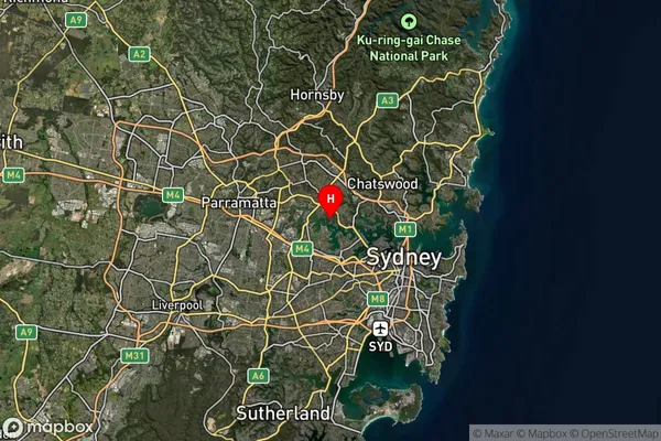
about 37.97 meters height above sea level (Altitude)Tennyson Point Suburb Map (Satellite)

Distances
The distance from Tennyson Point, Sydney - Ryde, NSW to AU Greater Capital CitiesSA1 Code 2011
12602149807SA1 Code 2016
12602149807SA2 Code
126021498SA3 Code
12602SA4 Code
126RA 2011
1RA 2016
1MMM 2015
1MMM 2019
1Charge Zone
N1LGA Region
Hunters HillLGA Code
14100Electorate
Bennelong