Huntleys Cove Area, Huntleys Cove Postcode(2111) & Map in Huntleys Cove, Sydney - Ryde, NSW
Huntleys Cove Area, Huntleys Cove Postcode(2111) & Map in Huntleys Cove, Sydney - Ryde, NSW, AU, Postcode: 2111
Huntleys Cove, Gladesville - Huntleys Point, Ryde - Hunters Hill, Sydney - Ryde, New South Wales, Australia, 2111
Huntleys Cove Postcode
Area Name
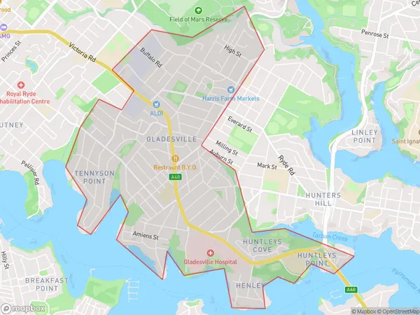
Huntleys CoveHuntleys Cove Suburb Area Map (Polygon)

Huntleys Cove Introduction
Huntleys Cove is a picturesque coastal suburb located in Sydney's northern suburbs, approximately 20 kilometers from the city center. It is known for its beautiful beaches, lush parks, and peaceful atmosphere. The suburb has a population of around 12,000 people and is surrounded by stunning natural scenery, including the Ku-ring-gai Chase National Park and the Macquarie Marshes. Huntleys Cove offers a relaxed lifestyle with a variety of recreational facilities, including a golf course, swimming pools, and a community center. It is also home to a number of prestigious schools and universities, making it a popular choice for families.State Name
City or Big Region
District or Regional Area
Suburb Name
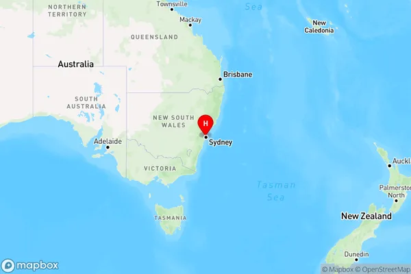
Huntleys Cove Region Map

Country
Main Region in AU
R1Coordinates
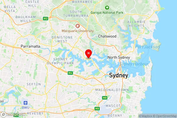
-33.8385208,151.138135 (latitude/longitude)Huntleys Cove Area Map (Street)

Longitude
151.124488Latitude
-33.829953Huntleys Cove Elevation
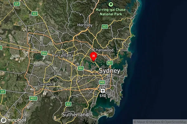
about 37.97 meters height above sea level (Altitude)Huntleys Cove Suburb Map (Satellite)

Distances
The distance from Huntleys Cove, Sydney - Ryde, NSW to AU Greater Capital CitiesSA1 Code 2011
12602149810SA1 Code 2016
12602149810SA2 Code
126021498SA3 Code
12602SA4 Code
126RA 2011
1RA 2016
1MMM 2015
1MMM 2019
1Charge Zone
N1LGA Region
Hunters HillLGA Code
14100Electorate
Bennelong