Wycliffe Well Area, Wycliffe Well Postcode(0862) & Map in Wycliffe Well, Northern Territory - Outback, NT
Wycliffe Well Area, Wycliffe Well Postcode(0862) & Map in Wycliffe Well, Northern Territory - Outback, NT, AU, Postcode: 0862
Wycliffe Well, Barkly, Barkly, Northern Territory - Outback, Northern Territory, Australia, 0862
Wycliffe Well Postcode
Area Name
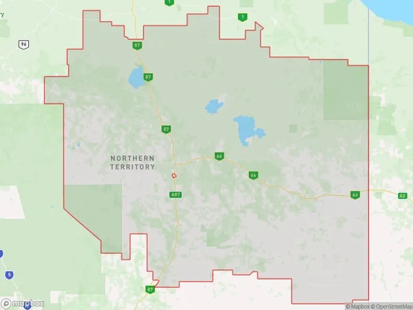
Wycliffe WellWycliffe Well Suburb Area Map (Polygon)

Wycliffe Well Introduction
Wycliffe Well is a waterhole in the Northern Territory's Outback, located in the Arrernte Desert. It is a popular tourist destination and a sacred site for the Arrernte people. The waterhole is surrounded by stunning red rock formations and provides a vital source of water for wildlife and local communities. It has been designated as a protected area and is part of the Kakadu National Park.State Name
City or Big Region
District or Regional Area
Suburb Name
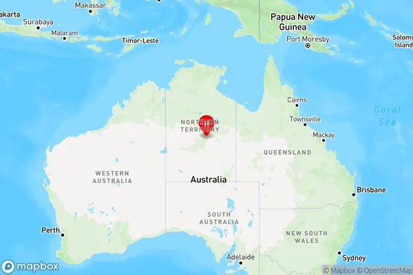
Wycliffe Well Region Map

Country
Main Region in AU
R1Coordinates
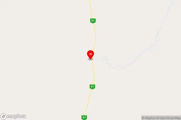
-20.8,134.233 (latitude/longitude)Wycliffe Well Area Map (Street)

Longitude
134.463153Latitude
-18.251528Wycliffe Well Elevation
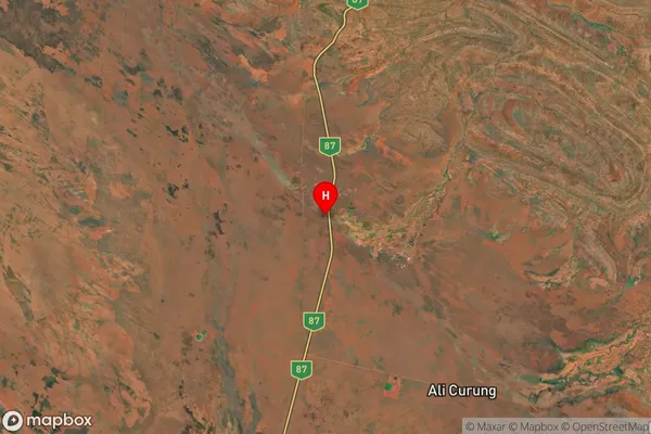
about 203.78 meters height above sea level (Altitude)Wycliffe Well Suburb Map (Satellite)

Distances
The distance from Wycliffe Well, Northern Territory - Outback, NT to AU Greater Capital CitiesSA1 Code 2011
70202105503SA1 Code 2016
70202105503SA2 Code
702021055SA3 Code
70202SA4 Code
702RA 2011
5RA 2016
5MMM 2015
7MMM 2019
7Charge Zone
NT1LGA Region
BarklyLGA Code
70420Electorate
Lingiari