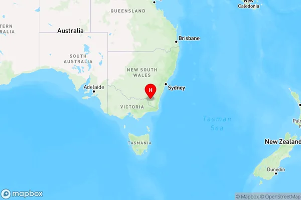
Snowy Plain Area, Snowy Plain Postcode(2628) & Map in Snowy Plain, Capital Region, NSW
Snowy Plain Area, Snowy Plain Postcode(2628) & Map in Snowy Plain, Capital Region, NSW, AU, Postcode: 2628
Snowy Plain, Jindabyne - Berridale, Snowy Mountains, Capital Region, New South Wales, Australia, 2628
Snowy Plain Postcode
Area Name
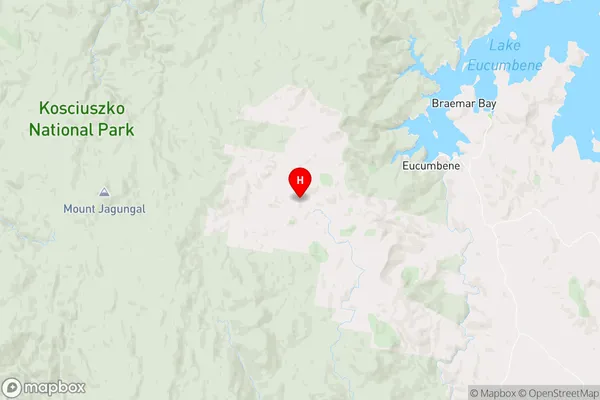
Snowy PlainSnowy Plain Suburb Area Map (Polygon)

Snowy Plain Introduction
Snowy Plain is a locality in the Canberra region of New South Wales, Australia. It is located in the Australian Capital Territory and is part of the Queanbeyan-Palerang Region. The population of Snowy Plain is approximately 1,000 people. The area is known for its agricultural productivity, with crops such as wheat, sheep, and cattle being grown in the region. The Snowy Plain is also home to a number of national parks and reserves, including the Namadgi National Park and the Mount Kosciuszko National Park.State Name
City or Big Region
District or Regional Area
Suburb Name
Snowy Plain Region Map

Country
Main Region in AU
R3Coordinates
-36.152,148.522 (latitude/longitude)Snowy Plain Area Map (Street)

Longitude
148.833511Latitude
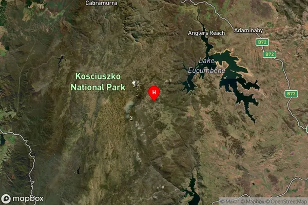
-36.404324Snowy Plain Suburb Map (Satellite)

Distances
The distance from Snowy Plain, Capital Region, NSW to AU Greater Capital CitiesSA1 Code 2011
10103101603SA1 Code 2016
10103101603SA2 Code
101031016SA3 Code
10103SA4 Code
101RA 2011
3RA 2016
3MMM 2015
5MMM 2019
5Charge Zone
N2LGA Region
Snowy Monaro RegionalLGA Code
17040Electorate
Eden-Monaro