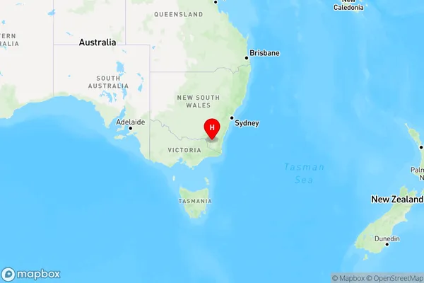
Rocky Plain Area, Rocky Plain Postcode(2628) & Map in Rocky Plain, Capital Region, NSW
Rocky Plain Area, Rocky Plain Postcode(2628) & Map in Rocky Plain, Capital Region, NSW, AU, Postcode: 2628
Rocky Plain, Jindabyne - Berridale, Snowy Mountains, Capital Region, New South Wales, Australia, 2628
Rocky Plain Postcode
Area Name
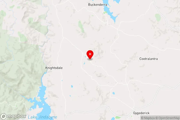
Rocky PlainRocky Plain Suburb Area Map (Polygon)

Rocky Plain Introduction
Rocky Plain is a locality in the City of Shoalhaven, New South Wales, Australia. It is located in the Shoalhaven River valley and is part of the Southern Tablelands region. The population of Rocky Plain is approximately 1,200 people. The area has a rich history, with evidence of early Aboriginal settlement and European exploration. The locality is known for its agricultural industry, with crops such as cotton, wheat, and olives being grown. There are also several wineries in the area, producing wine and cider. Rocky Plain is surrounded by beautiful natural scenery, including the Shoalhaven Heads National Park and the Jervis Bay National Park. The area is popular with tourists and outdoor enthusiasts, who enjoy hiking, fishing, and kayaking.State Name
City or Big Region
District or Regional Area
Suburb Name
Rocky Plain Region Map

Country
Main Region in AU
R3Coordinates
-36.267259,148.7336827 (latitude/longitude)Rocky Plain Area Map (Street)

Longitude
148.833511Latitude
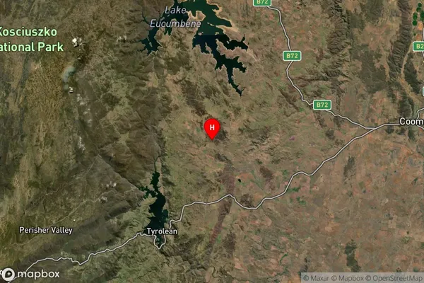
-36.404324Rocky Plain Suburb Map (Satellite)

Distances
The distance from Rocky Plain, Capital Region, NSW to AU Greater Capital CitiesSA1 Code 2011
10103101603SA1 Code 2016
10103101603SA2 Code
101031016SA3 Code
10103SA4 Code
101RA 2011
3RA 2016
3MMM 2015
5MMM 2019
5Charge Zone
N2LGA Region
Snowy Monaro RegionalLGA Code
17040Electorate
Eden-Monaro