Grubben Area, Grubben Postcode(2658) & Map in Grubben, Riverina, NSW
Grubben Area, Grubben Postcode(2658) & Map in Grubben, Riverina, NSW, AU, Postcode: 2658
Grubben, Wagga Wagga Region, Wagga Wagga, Riverina, New South Wales, Australia, 2658
Grubben Postcode
Area Name
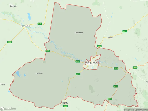
GrubbenGrubben Suburb Area Map (Polygon)

Grubben Introduction
Grubben is a small rural town in the Riverina region of New South Wales, Australia. It is located on the banks of the Murrumbidgee River and is known for its historic stone buildings and scenic countryside. The town has a population of around 200 people and is surrounded by farmland and grazing land. Grubben is a popular destination for tourists who enjoy fishing, camping, and hiking in the nearby national parks.State Name
City or Big Region
District or Regional Area
Suburb Name
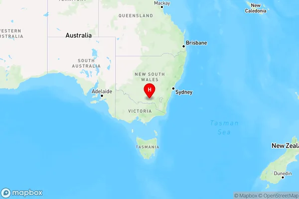
Grubben Region Map

Country
Main Region in AU
R3Coordinates
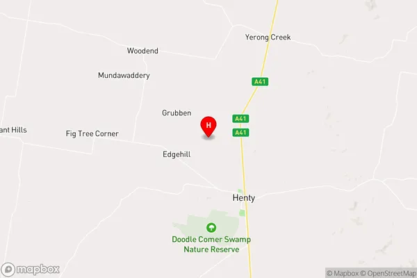
-35.469354,146.999321 (latitude/longitude)Grubben Area Map (Street)

Longitude
146.977849Latitude
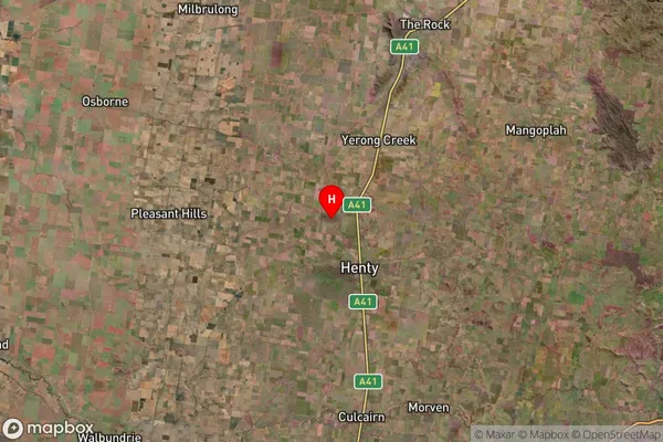
-35.535739Grubben Suburb Map (Satellite)

Distances
The distance from Grubben, Riverina, NSW to AU Greater Capital CitiesSA1 Code 2011
11303127109SA1 Code 2016
11303127109SA2 Code
113031271SA3 Code
11303SA4 Code
113RA 2011
3RA 2016
3MMM 2015
5MMM 2019
5Charge Zone
N2LGA Region
LockhartLGA Code
14950Electorate
Riverina