Wagga Wagga Raaf Area, Wagga Wagga Raaf Postcode(2651) & Map in Wagga Wagga Raaf, Riverina, NSW
Wagga Wagga Raaf Area, Wagga Wagga Raaf Postcode(2651) & Map in Wagga Wagga Raaf, Riverina, NSW, AU, Postcode: 2651
Wagga Wagga Raaf, Wagga Wagga Region, Wagga Wagga, Riverina, New South Wales, Australia, 2651
Wagga Wagga Raaf Postcode
Area Name
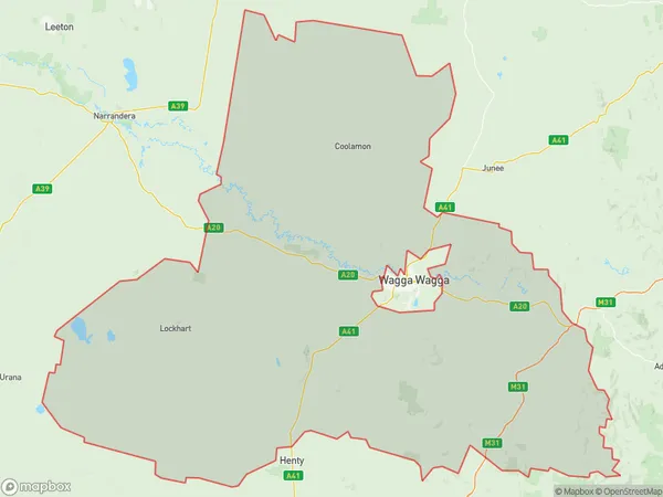
Wagga Wagga RaafWagga Wagga Raaf Suburb Area Map (Polygon)

Wagga Wagga Raaf Introduction
Wagga Wagga Raaf is a military air base located in the city of Wagga Wagga, in the Riverina region of New South Wales, Australia. It is home to the Royal Australian Air Force's 1st Air Warfare Centre and is responsible for the training and operational deployment of air force personnel and aircraft. The base has a rich history, dating back to World War II, and has played a significant role in the defense of Australia and its allies.State Name
City or Big Region
District or Regional Area
Suburb Name
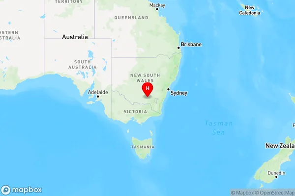
Wagga Wagga Raaf Region Map

Country
Main Region in AU
R3Coordinates
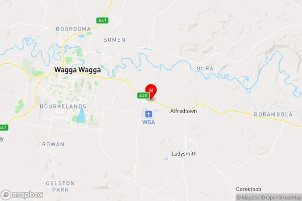
-35.1494,147.468 (latitude/longitude)Wagga Wagga Raaf Area Map (Street)

Longitude
147.463477Latitude
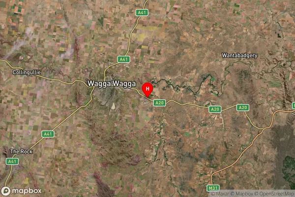
-35.162259Wagga Wagga Raaf Suburb Map (Satellite)

Distances
The distance from Wagga Wagga Raaf, Riverina, NSW to AU Greater Capital CitiesSA1 Code 2011
11303127133SA1 Code 2016
11303127133SA2 Code
113031271SA3 Code
11303SA4 Code
113RA 2011
2RA 2016
2MMM 2015
3MMM 2019
3Charge Zone
N2LGA Region
Wagga WaggaLGA Code
17750Electorate
Riverina