Cresswell Downs Area, Cresswell Downs Postcode(0862) & Map in Cresswell Downs, Northern Territory - Outback, NT
Cresswell Downs Area, Cresswell Downs Postcode(0862) & Map in Cresswell Downs, Northern Territory - Outback, NT, AU, Postcode: 0862
Cresswell Downs, Barkly, Barkly, Northern Territory - Outback, Northern Territory, Australia, 0862
Cresswell Downs Postcode
Area Name
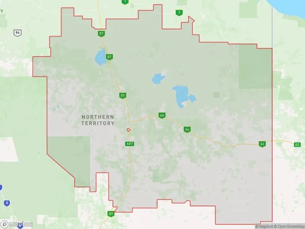
Cresswell DownsCresswell Downs Suburb Area Map (Polygon)

Cresswell Downs Introduction
Cresswell Downs is a cattle station located approximately 150 miles northeast of Alice Springs in the Northern Territory of Australia. It is one of the largest stations in the region and is home to a herd of over 10,000 cattle. The station is owned and operated by the McDonnell family, who have been running cattle in the area for several generations. Cresswell Downs has a variety of landscapes, including dry creek beds, rocky outcrops, and grassy plains. The station is also home to a number of native animals, including kangaroos, wallabies, and emus.State Name
City or Big Region
District or Regional Area
Suburb Name
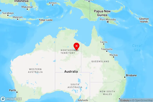
Cresswell Downs Region Map

Country
Main Region in AU
R1Coordinates
-19.2033786,136.3866597 (latitude/longitude)Cresswell Downs Area Map (Street)

Longitude
134.463153Latitude
-18.251528Cresswell Downs Elevation
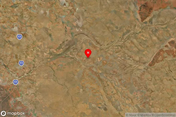
about 203.78 meters height above sea level (Altitude)Cresswell Downs Suburb Map (Satellite)

Distances
The distance from Cresswell Downs, Northern Territory - Outback, NT to AU Greater Capital CitiesSA1 Code 2011
70202105502SA1 Code 2016
70202105502SA2 Code
702021055SA3 Code
70202SA4 Code
702RA 2011
5RA 2016
5MMM 2015
7MMM 2019
7Charge Zone
NT1LGA Region
BarklyLGA Code
70420Electorate
Lingiari