Rosebery Heights Area, Rosebery Heights Postcode(0832) & Map in Rosebery Heights, Darwin, NT
Rosebery Heights Area, Rosebery Heights Postcode(0832) & Map in Rosebery Heights, Darwin, NT, AU, Postcode: 0832
Rosebery Heights, Rosebery - Bellamack, Palmerston, Darwin, Northern Territory, Australia, 0832
Rosebery Heights Postcode
Area Name
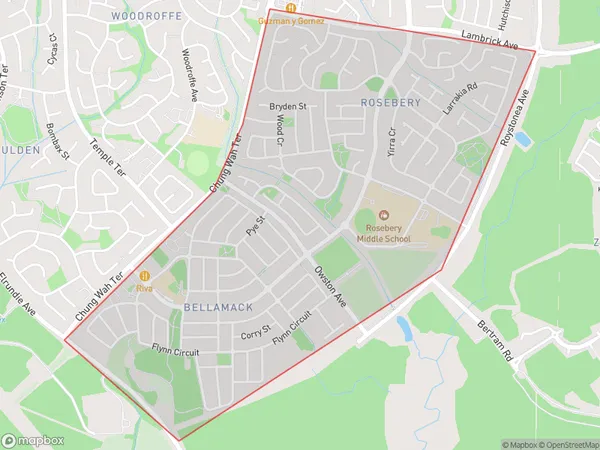
Rosebery HeightsRosebery Heights Suburb Area Map (Polygon)

Rosebery Heights Introduction
Rosebery Heights is a suburb of Darwin, Northern Territory, Australia. It is located in the city's northern suburbs and is bordered by the Stuart Highway to the north, the Casuarina Coastal Reserve to the east, and the Darwin River to the south. The suburb was named after the Rosebery Estate, which was once the property of the wealthy pastoralist Sir John McDouall Stuart.State Name
City or Big Region
District or Regional Area
Suburb Name
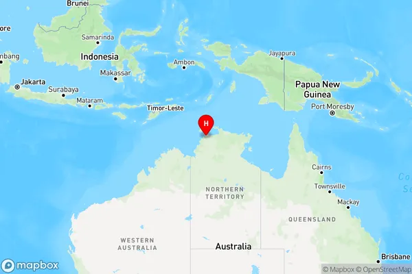
Rosebery Heights Region Map

Country
Main Region in AU
R1Coordinates
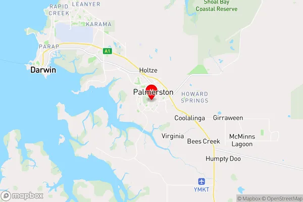
-12.501829,130.9884539 (latitude/longitude)Rosebery Heights Area Map (Street)

Longitude
130.957712Latitude
-12.502817Rosebery Heights Elevation
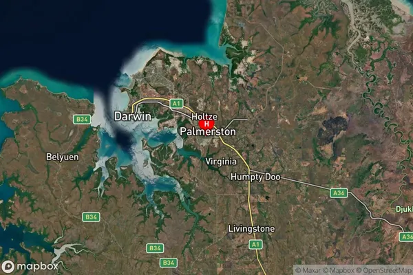
about 27.97 meters height above sea level (Altitude)Rosebery Heights Suburb Map (Satellite)

Distances
The distance from Rosebery Heights, Darwin, NT to AU Greater Capital CitiesSA1 Code 2011
70104104302SA1 Code 2016
70104104302SA2 Code
701041043SA3 Code
70104SA4 Code
701RA 2011
3RA 2016
3MMM 2015
2MMM 2019
2Charge Zone
NT1LGA Region
PalmerstonLGA Code
72800Electorate
Solomon