Pampoolah Area, Pampoolah Postcode(2430) & Map in Pampoolah, Mid North Coast, NSW
Pampoolah Area, Pampoolah Postcode(2430) & Map in Pampoolah, Mid North Coast, NSW, AU, Postcode: 2430
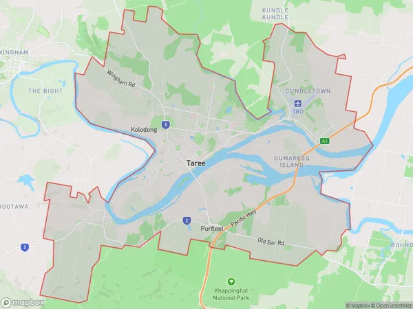
Pampoolah, Taree, Taree - Gloucester, Mid North Coast, New South Wales, Australia, 2430
Pampoolah Postcode
Area Name
PampoolahPampoolah Suburb Area Map (Polygon)
Pampoolah Introduction
Pampoolah is a small town in the Mid North Coast region of New South Wales, Australia. It is situated on the banks of the Macleay River and is known for its historic timber mills and scenic countryside. The town has a population of around 1,500 people and is a popular tourist destination. Pampoolah is also home to the Pampoolah Showground, which hosts a variety of events throughout the year, including the Pampoolah Show and the Pampoolah Festival of Country Music.State Name
City or Big Region
District or Regional Area
Suburb Name
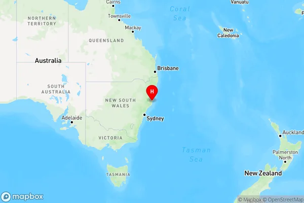
Pampoolah Region Map
Country
Main Region in AU
R3Coordinates
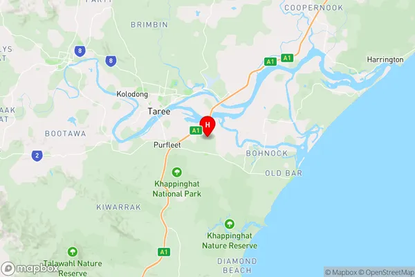
-31.9357602,152.5091262 (latitude/longitude)Pampoolah Area Map (Street)
Longitude
152.503209Latitude
-31.899311Pampoolah Elevation
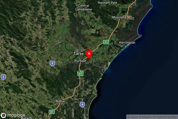
about 5.37 meters height above sea level (Altitude)Pampoolah Suburb Map (Satellite)
Distances
The distance from Pampoolah, Mid North Coast, NSW to AU Greater Capital CitiesSA1 Code 2011
10805116909SA1 Code 2016
10805116909SA2 Code
108051169SA3 Code
10805SA4 Code
108RA 2011
2RA 2016
2MMM 2015
3MMM 2019
3Charge Zone
N2LGA Region
Mid-CoastLGA Code
15240Electorate
Lyne