Dumaresq Island Area, Dumaresq Island Postcode(2430) & Map in Dumaresq Island, Mid North Coast, NSW
Dumaresq Island Area, Dumaresq Island Postcode(2430) & Map in Dumaresq Island, Mid North Coast, NSW, AU, Postcode: 2430
Dumaresq Island, Taree, Taree - Gloucester, Mid North Coast, New South Wales, Australia, 2430
Dumaresq Island Postcode
Area Name
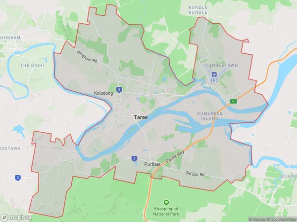
Dumaresq IslandDumaresq Island Suburb Area Map (Polygon)
Dumaresq Island Introduction
Dumaresq Island is located off the coast of New South Wales, Australia, in the Macleay River. It is a popular destination for fishing, camping, and hiking and is home to a variety of wildlife, including kangaroos, wallabies, and echidnas. The island has a rich history, with evidence of Aboriginal and European settlement dating back thousands of years. It is also home to a lighthouse, which was built in 1888 and is still in use today.State Name
City or Big Region
District or Regional Area
Suburb Name
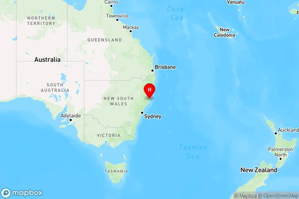
Dumaresq Island Region Map
Country
Main Region in AU
R3Coordinates
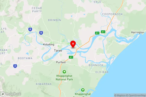
-31.9081281,152.5032543 (latitude/longitude)Dumaresq Island Area Map (Street)
Longitude
152.503209Latitude
-31.899311Dumaresq Island Elevation
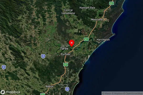
about 5.37 meters height above sea level (Altitude)Dumaresq Island Suburb Map (Satellite)
Distances
The distance from Dumaresq Island, Mid North Coast, NSW to AU Greater Capital CitiesSA1 Code 2011
10805116951SA1 Code 2016
10805116951SA2 Code
108051169SA3 Code
10805SA4 Code
108RA 2011
2RA 2016
2MMM 2015
3MMM 2019
3Charge Zone
N2LGA Region
Mid-CoastLGA Code
15240Electorate
Lyne