Cundletown Area, Cundletown Postcode(2430) & Map in Cundletown, Mid North Coast, NSW
Cundletown Area, Cundletown Postcode(2430) & Map in Cundletown, Mid North Coast, NSW, AU, Postcode: 2430
Cundletown, Taree, Taree - Gloucester, Mid North Coast, New South Wales, Australia, 2430
Cundletown Postcode
Area Name
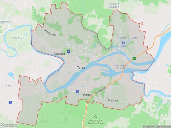
CundletownCundletown Suburb Area Map (Polygon)
Cundletown Introduction
Cundletown is a small town on the Mid North Coast of New South Wales, Australia. It is located in the Macleay Valley and is known for its beautiful beaches, lush forests, and friendly community. The town has a population of around 1,000 people and is surrounded by stunning natural scenery, including the Yuraygir National Park and the Mount Werong State Forest. Cundletown is a popular destination for tourists and locals alike, with a variety of accommodation options, restaurants, and recreational facilities.State Name
City or Big Region
District or Regional Area
Suburb Name
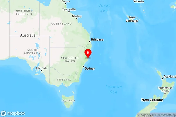
Cundletown Region Map
Country
Main Region in AU
R3Coordinates
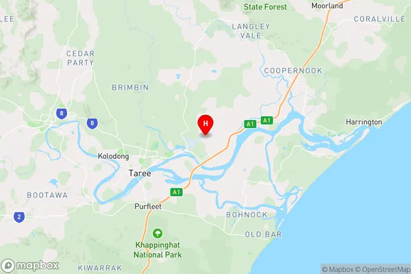
-31.8820879,152.5267429 (latitude/longitude)Cundletown Area Map (Street)
Longitude
152.503209Latitude
-31.899311Cundletown Elevation
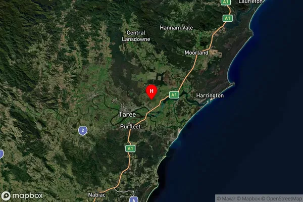
about 5.37 meters height above sea level (Altitude)Cundletown Suburb Map (Satellite)
Distances
The distance from Cundletown, Mid North Coast, NSW to AU Greater Capital CitiesSA1 Code 2011
10805116953SA1 Code 2016
10805116953SA2 Code
108051169SA3 Code
10805SA4 Code
108RA 2011
2RA 2016
2MMM 2015
3MMM 2019
3Charge Zone
N2LGA Region
Mid-CoastLGA Code
15240Electorate
Lyne