Farrar Area, Farrar Postcode(0830) & Map in Farrar, Darwin, NT
Farrar Area, Farrar Postcode(0830) & Map in Farrar, Darwin, NT, AU, Postcode: 0830
Farrar, Palmerston - North, Palmerston, Darwin, Northern Territory, Australia, 0830
Farrar Postcode
Area Name
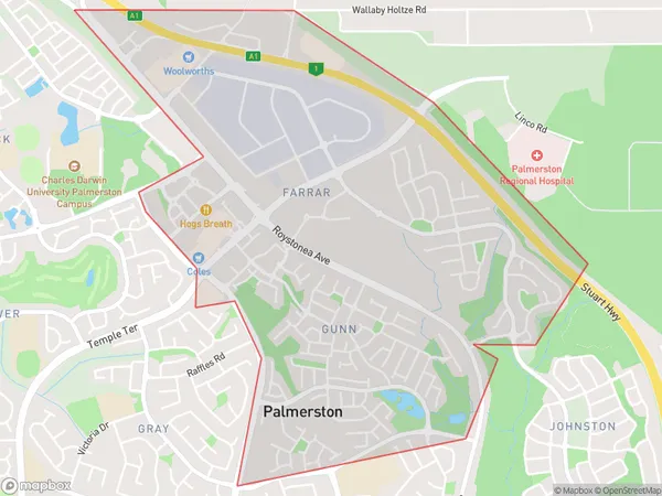
FarrarFarrar Suburb Area Map (Polygon)

Farrar Introduction
Farrar is a small rural community in the Northern Territory of Australia, located approximately 125 kilometers south of Darwin. It is situated on the banks of the Mary River and is known for its agricultural industry, including cotton farming and cattle ranching. The community has a population of around 200 people and offers a peaceful and relaxed lifestyle away from the hustle and bustle of city life.State Name
City or Big Region
District or Regional Area
Suburb Name
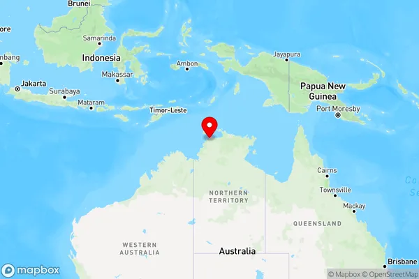
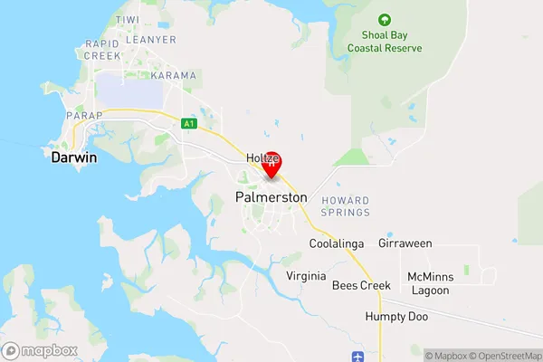
Farrar Region Map

Country
Main Region in AU
R1Coordinates
-12.478,130.991 (latitude/longitude)Farrar Area Map (Street)

Longitude
130.974879Latitude
-12.475071Farrar Elevation
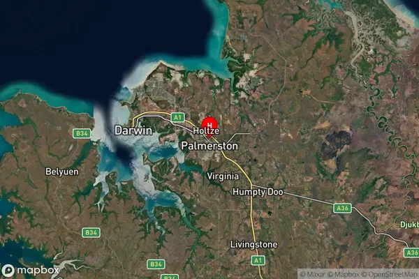
about 18.14 meters height above sea level (Altitude)Farrar Suburb Map (Satellite)

Distances
The distance from Farrar, Darwin, NT to AU Greater Capital CitiesSA1 Code 2011
70104104103SA1 Code 2016
70104104113SA2 Code
701041041SA3 Code
70104SA4 Code
701RA 2011
3RA 2016
3MMM 2015
2MMM 2019
2Charge Zone
NT1LGA Region
PalmerstonLGA Code
72800Electorate
Solomon