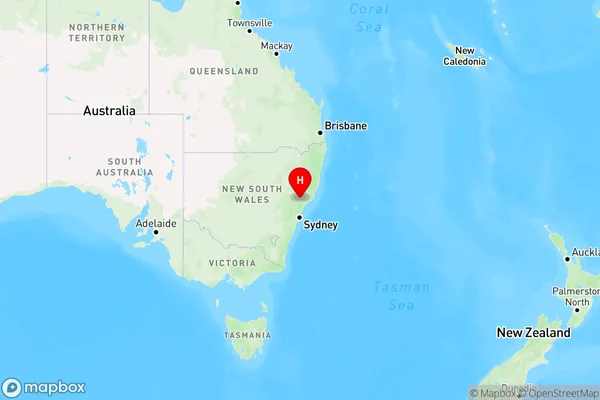
Roughit Area, Roughit Postcode(2330) & Map in Roughit, Hunter Valley exc Newcastle, NSW
Roughit Area, Roughit Postcode(2330) & Map in Roughit, Hunter Valley exc Newcastle, NSW, AU, Postcode: 2330
Roughit, Singleton Region, Lower Hunter, Hunter Valley exc Newcastle, New South Wales, Australia, 2330
Roughit Postcode
Area Name
RoughitRoughit Suburb Area Map (Polygon)

Roughit Introduction
Roughit is a small town located in the Hunter Valley region of New South Wales, Australia. It is situated approximately 125 kilometers (78 miles) north of Sydney and 25 kilometers (16 miles) south of Newcastle. The town is known for its coal mining industry, which played a significant role in its development during the 19th and 20th centuries. Today, Roughit is a quiet and peaceful town with a population of around 1,000 people. It is surrounded by beautiful countryside and offers a range of recreational activities, including hiking, fishing, and camping. The town also has a historic coal mine museum, which provides visitors with an insight into the area's mining history.State Name
City or Big Region
District or Regional Area
Suburb Name
Roughit Region Map

Country
Main Region in AU
R3Coordinates
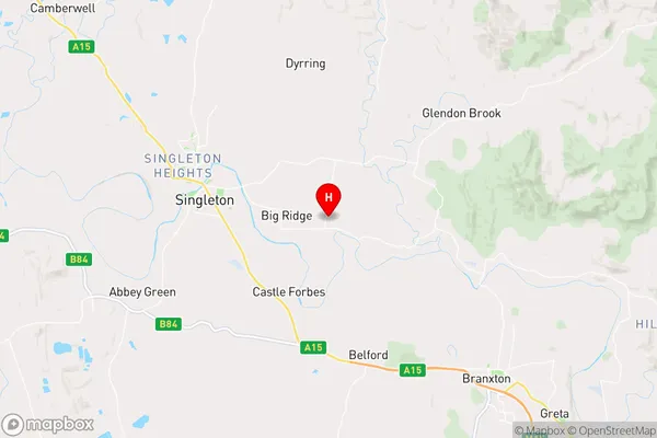
-32.5765186,151.2510477 (latitude/longitude)Roughit Area Map (Street)

Longitude
150.972137Latitude
-32.760486Roughit Elevation
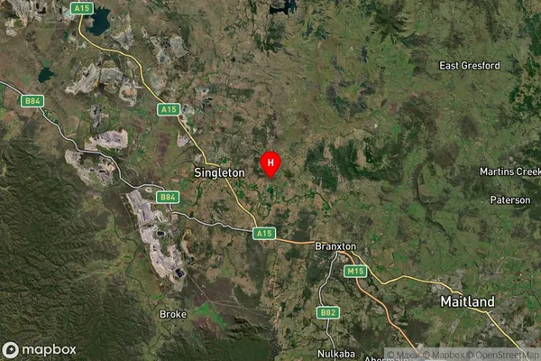
about 339.11 meters height above sea level (Altitude)Roughit Suburb Map (Satellite)

Distances
The distance from Roughit, Hunter Valley exc Newcastle, NSW to AU Greater Capital CitiesSA1 Code 2011
10601111312SA1 Code 2016
10601111312SA2 Code
106011113SA3 Code
10601SA4 Code
106RA 2011
2RA 2016
2MMM 2015
4MMM 2019
4Charge Zone
N2LGA Region
SingletonLGA Code
17000Electorate
Macquarie