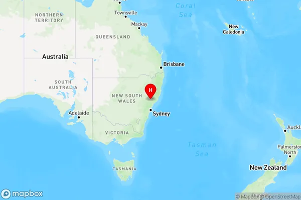
Greenlands Area, Greenlands Postcode(2330) & Map in Greenlands, Hunter Valley exc Newcastle, NSW
Greenlands Area, Greenlands Postcode(2330) & Map in Greenlands, Hunter Valley exc Newcastle, NSW, AU, Postcode: 2330
Greenlands, Singleton Region, Lower Hunter, Hunter Valley exc Newcastle, New South Wales, Australia, 2330
Greenlands Postcode
Area Name
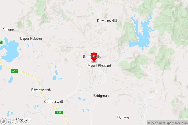
GreenlandsGreenlands Suburb Area Map (Polygon)

Greenlands Introduction
Greenlands, Hunter Valley exc Newcastle, NSW, AU, is a large residential suburb located 11 kilometers (7 miles) south of Newcastle's central business district. It is part of the City of Lake Macquarie local government area. Greenlands was developed in the 1980s and 1990s as a planned community. It features a variety of housing styles, including single-family homes, townhouses, and apartments. The suburb has a number of parks and recreational facilities, including a golf course, swimming pool, and tennis courts. It is also home to a large shopping center and a medical center.State Name
City or Big Region
District or Regional Area
Suburb Name
Greenlands Region Map

Country
Main Region in AU
R3Coordinates
-32.3927299,151.1727287 (latitude/longitude)Greenlands Area Map (Street)

Longitude
150.972137Latitude
-32.760486Greenlands Elevation
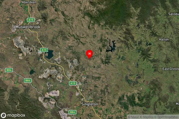
about 339.11 meters height above sea level (Altitude)Greenlands Suburb Map (Satellite)

Distances
The distance from Greenlands, Hunter Valley exc Newcastle, NSW to AU Greater Capital CitiesSA1 Code 2011
10601111309SA1 Code 2016
10601111309SA2 Code
106011113SA3 Code
10601SA4 Code
106RA 2011
2RA 2016
2MMM 2015
5MMM 2019
5Charge Zone
N2LGA Region
SingletonLGA Code
17000Electorate
Macquarie