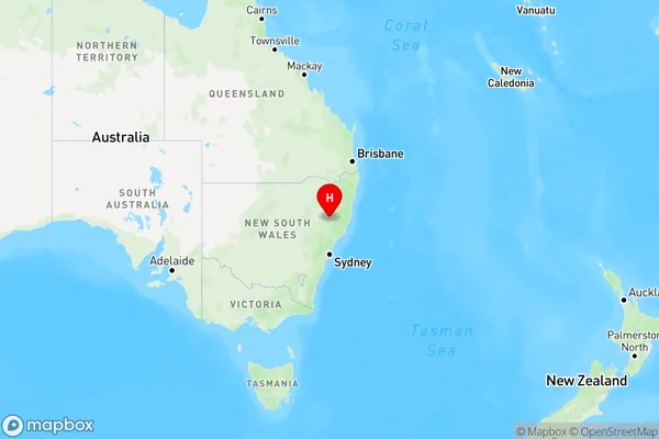
Hanging Rock Area, Hanging Rock Postcode(2340) & Map in Hanging Rock, New England and North West, NSW
Hanging Rock Area, Hanging Rock Postcode(2340) & Map in Hanging Rock, New England and North West, NSW, AU, Postcode: 2340
Hanging Rock, Tamworth Region, Tamworth - Gunnedah, New England and North West, New South Wales, Australia, 2340
Hanging Rock Postcode
Area Name
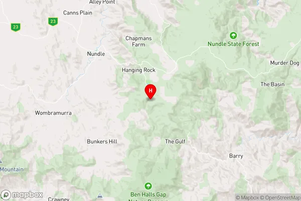
Hanging RockHanging Rock Suburb Area Map (Polygon)

Hanging Rock Introduction
Hanging Rock is a volcanic rock formation located in the North West Slopes region of New South Wales, Australia. It is a popular tourist destination and has a rich history and mystery surrounding its origins. The rock formation is about 130 meters high and is shaped like an upside-down egg. It is believed to have formed over millions of years from volcanic activity.State Name
City or Big Region
District or Regional Area
Suburb Name
Hanging Rock Region Map

Country
Main Region in AU
R3Coordinates
-31.5172358,151.2007734 (latitude/longitude)Hanging Rock Area Map (Street)

Longitude
151.138322Latitude
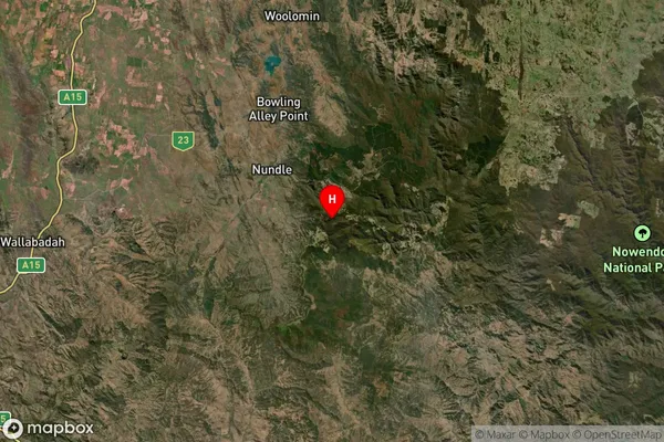
-31.333592Hanging Rock Suburb Map (Satellite)

Distances
The distance from Hanging Rock, New England and North West, NSW to AU Greater Capital CitiesSA1 Code 2011
11004120537SA1 Code 2016
11004120537SA2 Code
110041205SA3 Code
11004SA4 Code
110RA 2011
3RA 2016
3MMM 2015
5MMM 2019
5Charge Zone
N2LGA Region
Tamworth RegionalLGA Code
17310Electorate
Parkes