Hurlstone Park Area, Hurlstone Park Postcode(2193) & Map in Hurlstone Park, Sydney - Inner West, NSW
Hurlstone Park Area, Hurlstone Park Postcode(2193) & Map in Hurlstone Park, Sydney - Inner West, NSW, AU, Postcode: 2193
Hurlstone Park, Canterbury (North) - Ashbury, Strathfield - Burwood - Ashfield, Sydney - Inner West, New South Wales, Australia, 2193
Hurlstone Park Postcode
Area Name
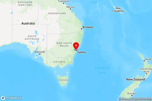
Hurlstone ParkHurlstone Park Suburb Area Map (Polygon)

Hurlstone Park Introduction
Hurlstone Park is a historic residential suburb in Sydney's Inner West, known for its picturesque gardens, large houses, and peaceful atmosphere. It is located 7 kilometers from the Sydney CBD and is bordered by the suburbs of Glebe, Camperdown, and Darlington. The area was developed in the late 19th century and is named after Hurlstone Park, a former estate that once stood on the site. Hurlstone Park is home to a variety of cultural institutions, including the Hurlstone Park Public School, the Hurlstone Park Community Centre, and the Hurlstone Park Library. It is also a popular destination for outdoor enthusiasts, with several parks and walking trails nearby.State Name
City or Big Region
District or Regional Area
Suburb Name
Hurlstone Park Region Map

Country
Main Region in AU
R1Coordinates
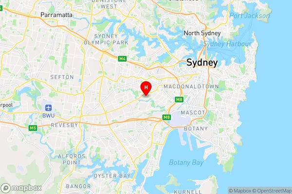
-33.91058,151.12919 (latitude/longitude)Hurlstone Park Area Map (Street)

Longitude
151.12086Latitude
-33.910308Hurlstone Park Elevation
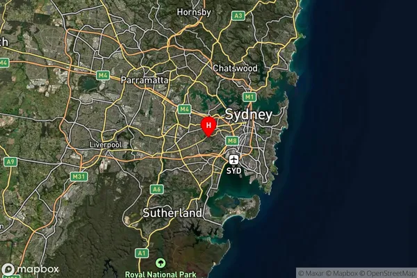
about 26.42 meters height above sea level (Altitude)Hurlstone Park Suburb Map (Satellite)

Distances
The distance from Hurlstone Park, Sydney - Inner West, NSW to AU Greater Capital CitiesSA1 Code 2011
12003139220SA1 Code 2016
12003139220SA2 Code
120031392SA3 Code
12003SA4 Code
120RA 2011
1RA 2016
1MMM 2015
1MMM 2019
1Charge Zone
N1LGA Region
BurwoodLGA Code
11300Electorate
Watson