Chittaway Bay Area, Chittaway Bay Postcode(2261) & Map in Chittaway Bay, Central Coast, NSW
Chittaway Bay Area, Chittaway Bay Postcode(2261) & Map in Chittaway Bay, Central Coast, NSW, AU, Postcode: 2261
Chittaway Bay, Chittaway Bay - Tumbi Umbi, Wyong, Central Coast, New South Wales, Australia, 2261
Chittaway Bay Postcode
Area Name
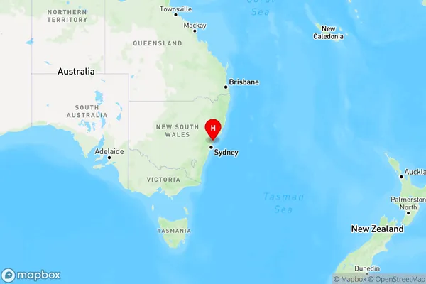
Chittaway BayChittaway Bay Suburb Area Map (Polygon)

Chittaway Bay Introduction
Chittaway Bay is a picturesque coastal village located on the Central Coast of New South Wales, Australia. It is known for its stunning beaches, crystal-clear waters, and lush green surroundings. The village has a relaxed and laid-back atmosphere, with a variety of cafes, restaurants, and shops lining the main street. It is a popular destination for tourists and locals alike, with many activities to enjoy, such as swimming, surfing, fishing, and hiking. The nearby Chittaway National Park offers a range of hiking trails and breathtaking views of the coastline.State Name
City or Big Region
District or Regional Area
Suburb Name
Chittaway Bay Region Map

Country
Main Region in AU
R3Coordinates
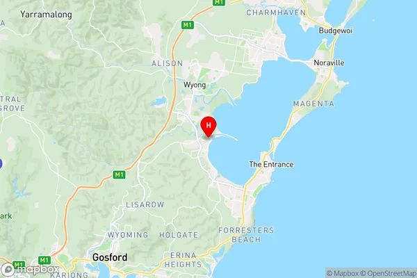
-33.3273927,151.4391698 (latitude/longitude)Chittaway Bay Area Map (Street)

Longitude
151.519708Latitude
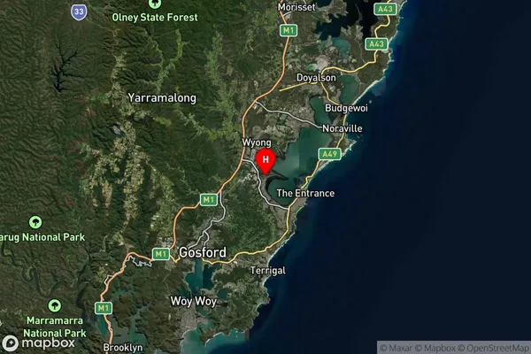
-33.315827Chittaway Bay Suburb Map (Satellite)

Distances
The distance from Chittaway Bay, Central Coast, NSW to AU Greater Capital CitiesSA1 Code 2011
10202104732SA1 Code 2016
10202104732SA2 Code
102021047SA3 Code
10202SA4 Code
102RA 2011
1RA 2016
1MMM 2015
1MMM 2019
1Charge Zone
N1LGA Region
Central CoastLGA Code
11650Electorate
Dobell