Wagaman Area, Wagaman Postcode(0810) & Map in Wagaman, Darwin, NT
Wagaman Area, Wagaman Postcode(0810) & Map in Wagaman, Darwin, NT, AU, Postcode: 0810
Wagaman, Wagaman, Darwin Suburbs, Darwin, Northern Territory, Australia, 0810
Wagaman Postcode
Area Name
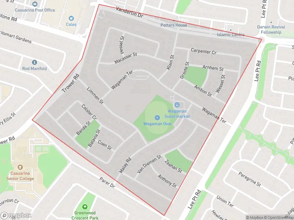
WagamanWagaman Suburb Area Map (Polygon)
Wagaman Introduction
Wagaman is a suburb of Darwin in the Northern Territory of Australia. It is located about 10 kilometers from the city center and is home to a population of around 1,500 people. Wagaman is known for its beautiful natural surroundings, including the nearby Wagaman Conservation Park and the Mary River. The suburb has a primary school, a post office, a supermarket, and a variety of other amenities.State Name
City or Big Region
District or Regional Area
Suburb Name
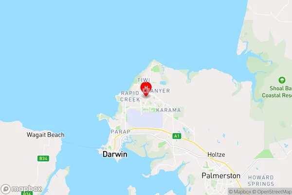
Wagaman Region Map

Country
Main Region in AU
R1Coordinates
-12.3825,130.885 (latitude/longitude)Wagaman Area Map (Street)
Longitude
130.866242Latitude
-12.381806Wagaman Elevation
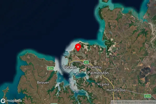
about 9.22 meters height above sea level (Altitude)Wagaman Suburb Map (Satellite)
Distances
The distance from Wagaman, Darwin, NT to AU Greater Capital CitiesSA1 Code 2011
70102102801SA1 Code 2016
70102102801SA2 Code
701021028SA3 Code
70102SA4 Code
701RA 2011
3RA 2016
3MMM 2015
2MMM 2019
2Charge Zone
NT1LGA Region
DarwinLGA Code
71000Electorate
Solomon