Strawberry Hills Area, Strawberry Hills Postcode(1428) & Map in Strawberry Hills, Sydney - City and Inner South, NSW
Strawberry Hills Area, Strawberry Hills Postcode(1428) & Map in Strawberry Hills, Sydney - City and Inner South, NSW, AU, Postcode: 1428
Strawberry Hills, Surry Hills, Sydney Inner City, Sydney - City and Inner South, New South Wales, Australia, 1428
Strawberry Hills Postcode
Area Name
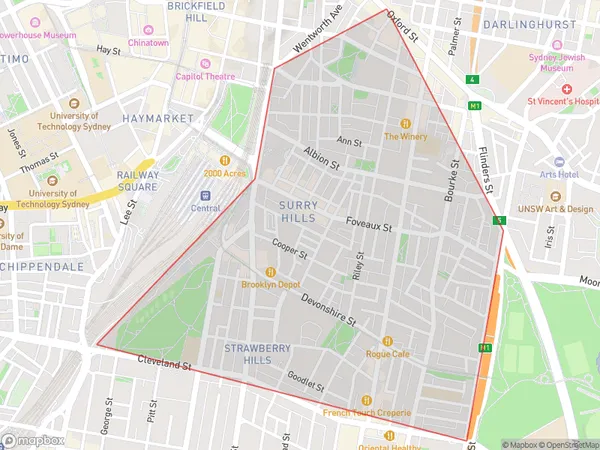
Strawberry HillsStrawberry Hills Suburb Area Map (Polygon)

Strawberry Hills Introduction
Strawberry Hills is a suburb in Sydney's south-east, located 11 kilometres from the CBD. It is known for its leafy streets, well-maintained homes, and peaceful atmosphere. The area has a variety of shops, cafes, and parks, including the popular Strawberry Hills Nature Reserve. Strawberry Hills is a popular residential area for families and professionals, with easy access to public transport and the M4 motorway.State Name
City or Big Region
District or Regional Area
Suburb Name
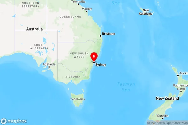
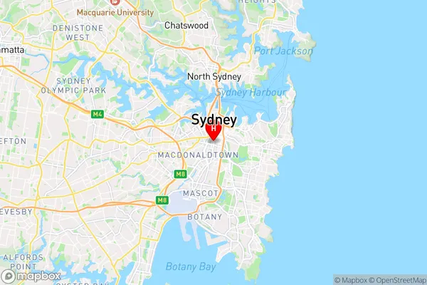
Strawberry Hills Region Map

Country
Main Region in AU
R1Coordinates
-33.8882671,151.2078465 (latitude/longitude)Strawberry Hills Area Map (Street)

Longitude
150.931838Latitude
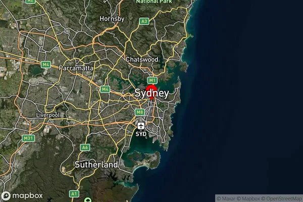
-33.726098Strawberry Hills Suburb Map (Satellite)

Distances
The distance from Strawberry Hills, Sydney - City and Inner South, NSW to AU Greater Capital CitiesSA1 Code 2011
11703133633SA1 Code 2016
11703133633SA2 Code
117031336SA3 Code
11703SA4 Code
117RA 2011
1RA 2016
1MMM 2015
1MMM 2019
1Charge Zone
N1LGA Region
BlacktownLGA Code
10750Electorate
Banks