Macdonnell Range Area, Macdonnell Range Postcode(0872) & Map in Macdonnell Range, Northern Territory - Outback, NT
Macdonnell Range Area, Macdonnell Range Postcode(0872) & Map in Macdonnell Range, Northern Territory - Outback, NT, AU, Postcode: 0872
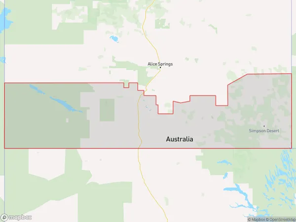
Macdonnell Range, Petermann - Simpson, Alice Springs, Northern Territory - Outback, Northern Territory, Australia, 0872
Macdonnell Range Postcode
Area Name
Macdonnell RangeMacdonnell Range Suburb Area Map (Polygon)
Macdonnell Range Introduction
The Macdonnell Range is a mountain range in the Northern Territory of Australia, known for its rugged beauty and diverse wildlife. It is home to the famous Ayers Rock and the Kata Tjuta rock formations. The range is a popular destination for hikers, climbers, and nature lovers, offering stunning views and a chance to experience the Outback's unique landscape.State Name
City or Big Region
District or Regional Area
Suburb Name
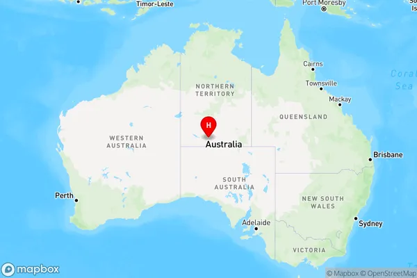
Macdonnell Range Region Map
Country
Main Region in AU
R1Coordinates
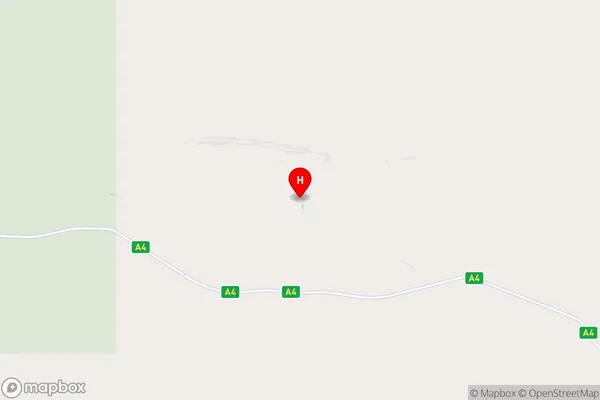
-25.1299,132.57 (latitude/longitude)Macdonnell Range Area Map (Street)
Longitude
131.298809Latitude
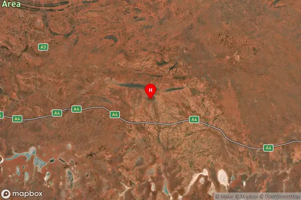
-21.949513Macdonnell Range Suburb Map (Satellite)
Distances
The distance from Macdonnell Range, Northern Territory - Outback, NT to AU Greater Capital CitiesSA1 Code 2011
70201105005SA1 Code 2016
70201105005SA2 Code
702011050SA3 Code
70201SA4 Code
702RA 2011
5RA 2016
5MMM 2015
7MMM 2019
7Charge Zone
NT1LGA Region
Central DesertLGA Code
70620Electorate
Lingiari