Amata Area, Amata Postcode(0872) & Map in Amata, Northern Territory - Outback, SA
Amata Area, Amata Postcode(0872) & Map in Amata, Northern Territory - Outback, SA, AU, Postcode: 0872
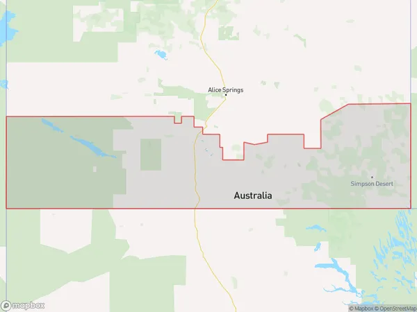
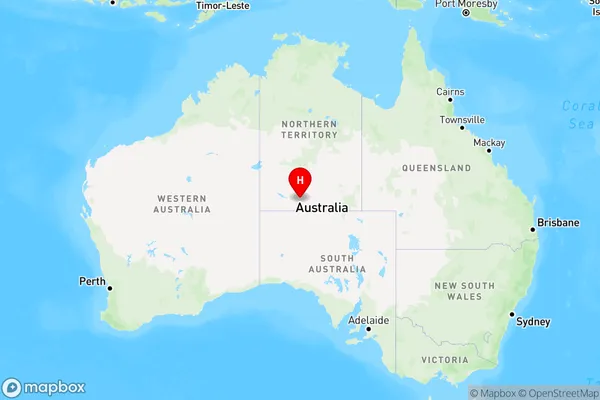
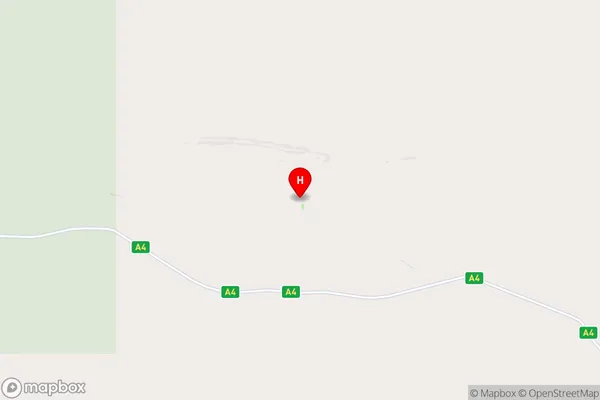
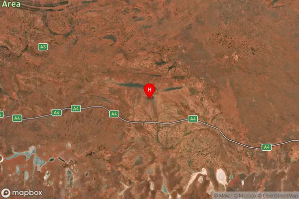
Amata, Petermann - Simpson, Alice Springs, Northern Territory - Outback, South Australia, Australia, 0872
Amata Postcode
Area Name
AmataAmata Suburb Area Map (Polygon)
Amata Introduction
Amata is a small town in the Northern Territory of Australia, located in the Outback. It is known for its stunning landscapes, including the nearby Ayers Rock and Kata Tjuta. The town has a population of around 1,000 people and is a popular destination for tourists who want to experience the Australian Outback.State Name
City or Big Region
District or Regional Area
Suburb Name
Amata Region Map
Country
Main Region in AU
R1Coordinates
-25.1299,132.57 (latitude/longitude)Amata Area Map (Street)
Longitude
131.1738799Latitude
-26.12766197Amata Suburb Map (Satellite)
Distances
The distance from Amata, Northern Territory - Outback, SA to AU Greater Capital CitiesSA1 Code 2011
70201105005SA1 Code 2016
70201105005SA2 Code
702011050SA3 Code
70201SA4 Code
702RA 2011
5RA 2016
5MMM 2015
7MMM 2019
7Charge Zone
NT1LGA Region
Anangu Pitjantjatjara YunkunytjatjaraLGA Code
40250Electorate
Lingiari