Wintinna Area, Wintinna Postcode(5723) & Map in Wintinna, South Australia - Outback, SA
Wintinna Area, Wintinna Postcode(5723) & Map in Wintinna, South Australia - Outback, SA, AU, Postcode: 5723
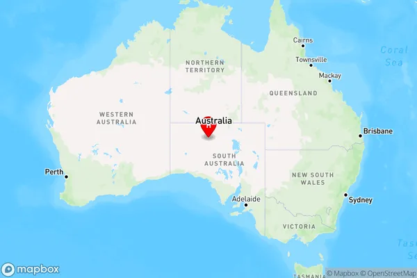
Wintinna, Outback, Outback - North and East, South Australia - Outback, South Australia, Australia, 5723
Wintinna Postcode
Area Name
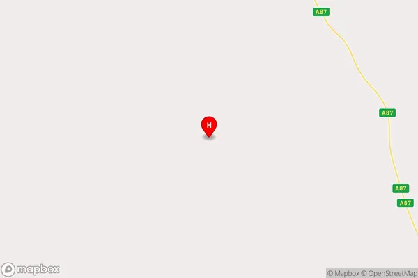
WintinnaWintinna Suburb Area Map (Polygon)

Wintinna Introduction
Wintinna is a small town in South Australia's Outback, located 250 km north of Adelaide. It is known for its historic pub, the Wintinna Hotel, which was built in 1890 and is one of the oldest in the state. The town also has a general store, a post office, and a school.State Name
City or Big Region
District or Regional Area
Suburb Name
Wintinna Region Map
Country
Main Region in AU
R3Coordinates
-27.8051,133.842 (latitude/longitude)Wintinna Area Map (Street)
Longitude
133.841904Latitude
-27.80520392Wintinna Elevation
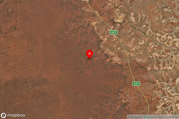
about 263.45 meters height above sea level (Altitude)Wintinna Suburb Map (Satellite)
Distances
The distance from Wintinna, South Australia - Outback, SA to AU Greater Capital CitiesSA1 Code 2011
40602114106SA1 Code 2016
40602114111SA2 Code
406021141SA3 Code
40602SA4 Code
406RA 2011
5RA 2016
5MMM 2015
7MMM 2019
7Charge Zone
S2LGA Region
Coober PedyLGA Code
41330Electorate
Grey