Netley Gap Area, Netley Gap Postcode(5440) & Map in Netley Gap, South Australia - Outback, SA
Netley Gap Area, Netley Gap Postcode(5440) & Map in Netley Gap, South Australia - Outback, SA, AU, Postcode: 5440
Netley Gap, Outback, Outback - North and East, South Australia - Outback, South Australia, Australia, 5440
Netley Gap Postcode
Area Name
Netley GapNetley Gap Suburb Area Map (Polygon)

Netley Gap Introduction
Netley Gap is a small town in South Australia, located in the Outback region. It is known for its scenic beauty, including the Netley Gap Lookout, which offers panoramic views of the surrounding countryside. The town is also home to a number of historic buildings, including the Netley Gap Hotel, which was built in 1890.State Name
City or Big Region
District or Regional Area
Suburb Name
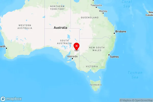
Netley Gap Region Map
Country
Main Region in AU
R3Coordinates
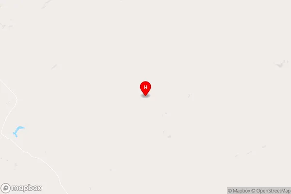
-32.7584,140.015 (latitude/longitude)Netley Gap Area Map (Street)
Longitude
140.015385Latitude
-32.75841002Netley Gap Elevation
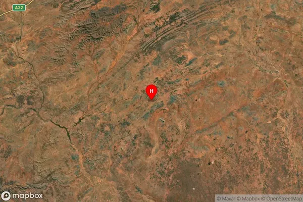
about 352.21 meters height above sea level (Altitude)Netley Gap Suburb Map (Satellite)
Distances
The distance from Netley Gap, South Australia - Outback, SA to AU Greater Capital CitiesSA1 Code 2011
40602114108SA1 Code 2016
40602114110SA2 Code
406021141SA3 Code
40602SA4 Code
406RA 2011
4RA 2016
4MMM 2015
6MMM 2019
6Charge Zone
S2LGA Region
PeterboroughLGA Code
45540Electorate
Grey