Bunyung Area, Bunyung Postcode(5417) & Map in Bunyung, South Australia - Outback, SA
Bunyung Area, Bunyung Postcode(5417) & Map in Bunyung, South Australia - Outback, SA, AU, Postcode: 5417
Bunyung, Outback, Outback - North and East, South Australia - Outback, South Australia, Australia, 5417
Bunyung Postcode
Area Name
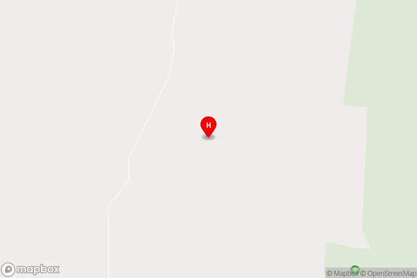
BunyungBunyung Suburb Area Map (Polygon)

Bunyung Introduction
Bunyung is a small town in South Australia, located in the Outback region. It is known for its rich history and culture, including the Bunyung Festival, which celebrates the town's Aboriginal heritage. The town also has a number of tourist attractions, including the Bunyung National Park and the Bunyung Museum.State Name
City or Big Region
District or Regional Area
Suburb Name
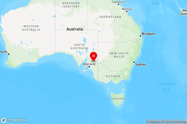
Bunyung Region Map
Country
Main Region in AU
R3Coordinates
-33.82,139.799 (latitude/longitude)Bunyung Area Map (Street)
Longitude
139.7992135Latitude
-33.8199791Bunyung Elevation
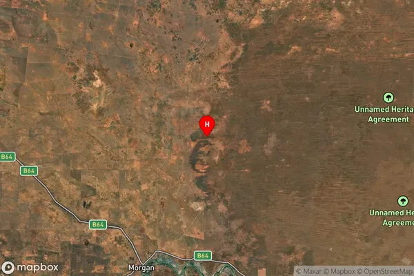
about 51.12 meters height above sea level (Altitude)Bunyung Suburb Map (Satellite)
Distances
The distance from Bunyung, South Australia - Outback, SA to AU Greater Capital CitiesSA1 Code 2011
40602114108SA1 Code 2016
40602114110SA2 Code
406021141SA3 Code
40602SA4 Code
406RA 2011
4RA 2016
4MMM 2015
6MMM 2019
6Charge Zone
S2LGA Region
GoyderLGA Code
42110Electorate
Grey